


7. To follow the route immediately without saving it for future use
(Quick Route), press the FOLLOW (QUICK) ROUTE softkey.
8. To save the route for future use, press the SAVE ROUTE softkey.
Note: If you place a waypoint at the wrong position, press the
UNDO WAYPOINT softkey.
Building a route using existing waypoints
In the chart application:
1. Press the NAVIGATION OPTIONS softkey.
2. Press the ROUTES softkey.
3. Press the BUILD NEW ROUTE softkey.
4. Using the trackpad, position the cursor over an existing waypoint
on the Chart.
5. Press the USE THIS WAYPOINT softkey.
6. Repeat Steps 4 to 5 for each existing waypoint you want to add
to the route, until the route is complete.
7. To follow the route immediately without saving it for future use
(Quick Route), press the FOLLOW (QUICK) ROUTE softkey.
8. To save the route for future use, press the SAVE ROUTE softkey.
Note: If you place a waypoint at the wrong position, press the
UNDO WAYPOINT softkey.
Building a route using the waypoint list
In the chart application:
1. NAVIGATION OPTIONS softkey.
2. Press the ROUTES softkey.
3. Press the BUILD NEW ROUTE softkey.
4. Press the USE WAYPOINT LIST softkey.
5. Using the trackpad, highlight the waypoint you want to use from
the waypoint list.
6. Press the INSERT WAYPOINT softkey.
7. Repeat Steps 4 to 5 for each existing waypoint you want to add
to the route, until the route is complete.
8. To follow the route immediately without saving it for future use
(Quick Route), press the FOLLOW (QUICK) ROUTE softkey.
9. To save the route for future use, press the SAVE ROUTE softkey.
Note: If you insert a waypoint incorrectly into a route that you are
building using the waypoint list, highlight the waypoint in the list
and press the REMOVE WAYPOINT softkey.
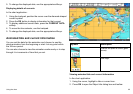
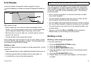
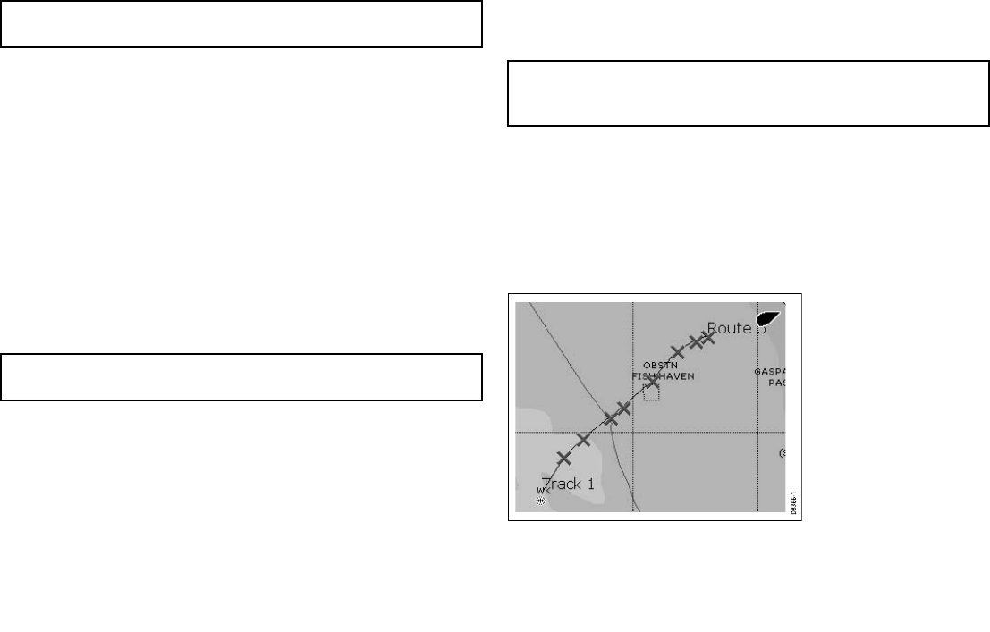
Building a route from a track
Creating a route from a track enables you to retrace the course of
that track.
When a track is converted the system creates the closest route
through the recorded track, using the minimum number of
waypoints. Each waypoint created will be saved with the depth and
temperature data (if applicable) for that position.
D8366-1
76 C-Series Widescreen user reference