


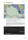

12. ROUTES
12-7
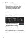
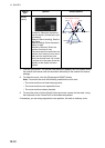
Context sensitive menus
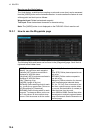
A context-sensitive menu for setting the draught is available on the [Alert Parameters]
page. Right-click [Draught/m] to show the menu. [Set "ALL" setting to all legs] applies
the draught value of [Check type: All Legs] to all legs. [Clear setting] restores previous
settings for each leg.
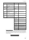
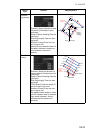
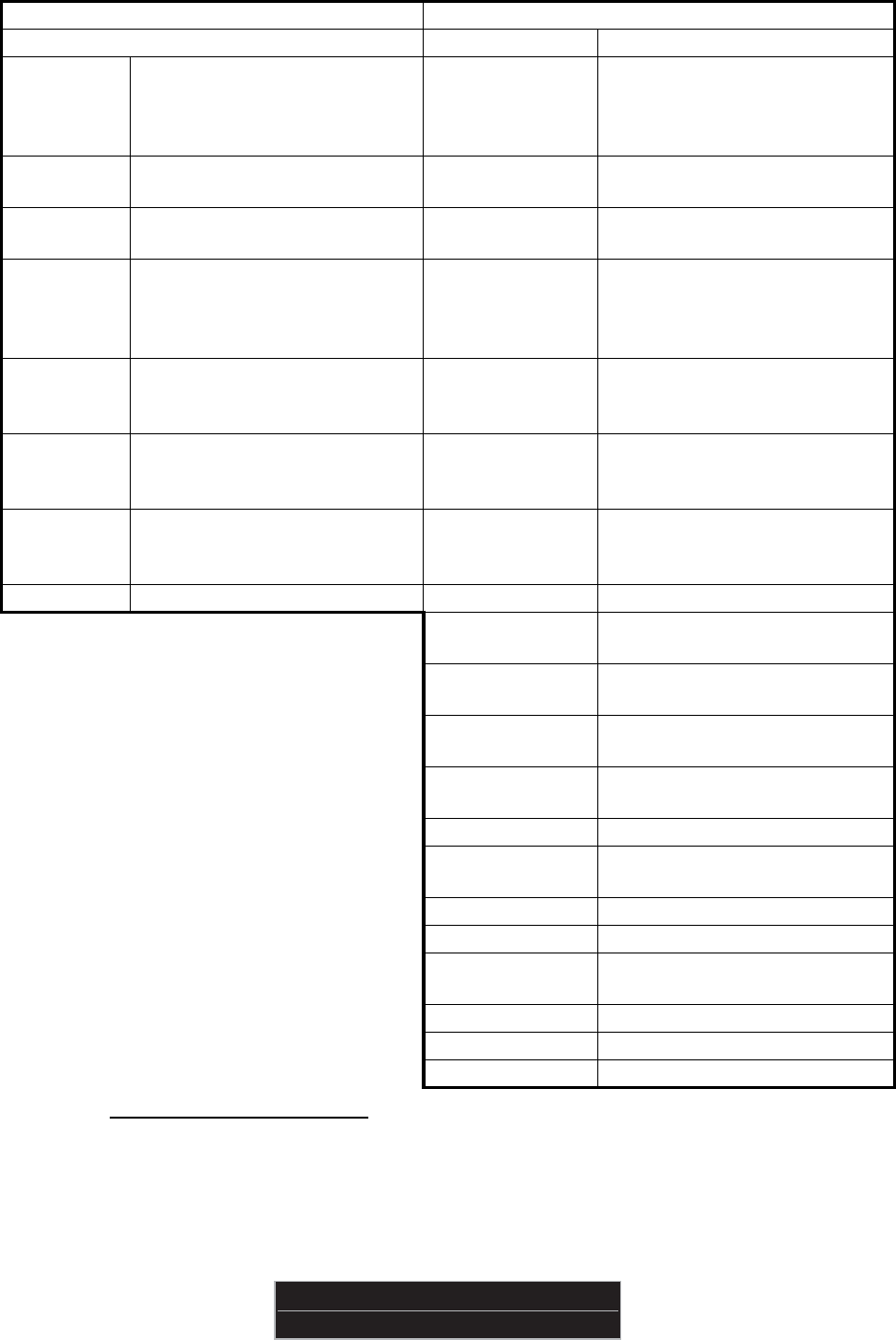
Radio buttons, input boxes Alert items
Item Description Item Description
[Check
type]
Check how to apply the alerts,
to every leg or individual leg.
(Only [Draught] can be applied
to every leg.)
[Draught/m] Ship’s draught
[Safety
Contour]
Set the safety contour (in
meters).
[Safety Contour] Safety contour
[UKC Limit] Under keel clearance limit. [Areas to be
Avoided]
Areas to be avoided
[Date
(UTC)]
A chart may have date-depen-
dent features. Enter the actual
data of embarkation to know
date-dependent features.
[User Chart Dan-
ger]
User chart danger area
[Copy from
Default
Alert] button
Copy the default alert settings
to this route.
[Traffic Separa-
tion Zone]
Traffic separation zone
[Copy to
Default
Alert] button
Copy the alert settings for this
route as default alert settings.
[Inshore Traffic
Zone]
Inshore traffic zone
[Check
Route]
button
Click to check route for safe
navigation. The results appear
on the [Check Results] page.
[Restricted Area] Restricted area
[Leg] Leg number [Caution Area] Caution area
[Offshore Pro-
duction Area]
Offshore production area
[Military Practice
Area]
Military practice area
[Seaplane Land-
ing Area]
Seaplane landing area
[Submarine Tran-
sit Lane]
Submarine transit lane
[Anchorage Area] Anchorage area
[MarineFarm
Aquaculture]
Marine farm aquaculture
[PSSA Area] Particularly Sensitive Sea Area
[UKC Limit] Under keel clearance limit
[Non-official
ENC]
No official ENC data
[No Vector Chart] No vector chart for area
[Not Up-to-date] Chart not up to date.
[Permit Expired] Permit for chart has expired.
Set “ALL” setting to all legs
Clear setting