


3-3
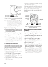
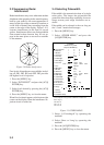
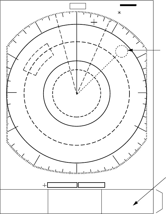
HDG 234.5°
SP
HU RM
0. 125
NM
0.0625
TRAIL
30min
ZOOM
ES1
AUTO
25:38
G (OUT)
VRM
0.048NM
0.100NM
13.5 R°
0.142NM
A/C
AUTO
EBL/PI
345.6 R
23.0 R
°
°
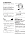
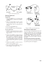
Waypoint Mark
Navigation
Data
OWN SHIP
34° 56. 12N
135° 34. 56E
SPD 35.0KT
WAYPOINT
0.09 NM
50.0°M
TTG 00:20
+ CURSOR
34° 29. 98N
136° 35. 77E
TTG 01:00
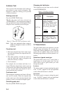
"M" is not displayed on
N-type radar.
To turn navigation data on or off
Press the [F1] key if its function is set for DISP
DATA (default setting), or select DATA DISP
on the menu.
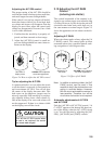
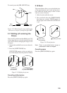
3.5 Displaying Navigation Data
Navigation data can be displayed at the screen
bottom if this radar receives navigation input
in IEC 1162 format. Navigation data include;
¡ Position in latitude and longitude or Loran-
C time difference
¡ Range, bearing and time-to-go to both
waypoint selected on the navigator and the
cursor
¡ Speed.
(If the navigation input includes destination
data, waypoint position is denoted on the radar
display by a dashed ring.)
Figure 3-6 Typical navigation data display