


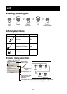
9
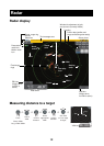
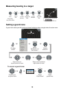
Showing tidal current and tide information
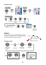
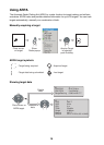
How to use points
A point marks a geographical position on the chart plotter. You can mark points at the cursor po-
sition, ship’s position, or at a specified location. Points are marked on the screen with the way-
point symbols( ) and waypoint numbers. Points are stored in the points list, where you can
edit, delete or group waypoints as desired.
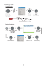
Placing a point
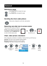
Name Charleston Harbor Entrance
Local Hour Oct/07/07 06:54:39 AM
Speed 1.4 kt increasing
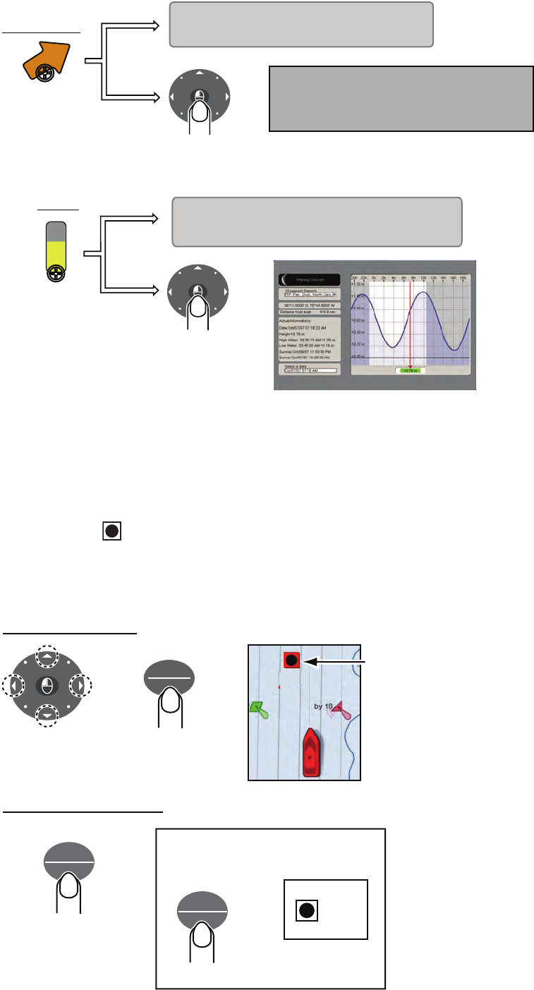
Tidal current
marker
(tide graph)
Name FRF Pier, Duck, North Carolina
Local Hour Oct/07/07 06:51:54 AM
Speed +0.50 m and rising
Tide
marker
Tide graph
C
U
R
S
O
R
Name Charleston Harbor Entrance
Local Hour Oct/07/07 06:54:39 AM
Speed 1.4 kt increasing
Source NOAA
Simple info
Detailed info
C
U
R
S
O
R
Simple info
Detailed info
Place cursor
on marker.
Place cursor
on marker.
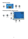
POINTS
ROUTE
At cursor location
Position
cursor.
SAVE
MOB
At own ship's position
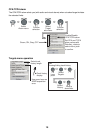
TIP!
Marking MOB position
MOB
SAVE
MOB
Long push
Point marked
on chart plotter
PT 0001
C
U
R
S
O
R