21
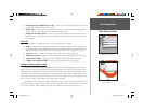
• Heading — select the reference used in calculating heading information for the the following
Advanced data fi elds: Bearing, Compass, Course, and Track (see pg. 17-18). ‘True’ will display data
with reference to True North. ‘Magnetic’ will display data with reference to Magnetic North using the
magnetic variation value received in the RMC NMEA sentence (see pgs. 5-6).
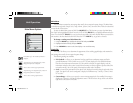
Sonar Tab
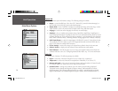
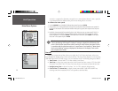
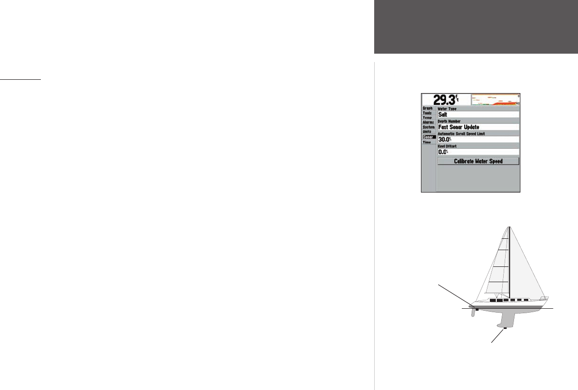
Allows you to set up initial settings and calibrations. The following settings are available:
• Water Type — since sound waves travel through ‘Fresh’ and ‘Salt’ water at different rates, it is
necessary to select the ‘Water Type’ to ensure accurate readings on the unit.
• Depth Number — controls the effi ciency of the digital depth update rate. ‘Fast Sonar Update’
updates quicker and is recommended for low-noise, deeper water (>50 ft.). ‘Auto’ is best for shallow
water or high noise areas, has a slower screen update, and is best used if you travel a wide variety of
depths. If the unit is unable to track the bottom for any reason, the digits in the depth window fl ash
on and off to alert you.
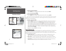
• Automatic Scroll Speed Limit — automatically adjusts the Scroll rate (see pg. 14) to the speed
of your vessel (if equipped with a speed sensor or receiving GPS NMEA input). Entering your maximum
cruising speed will produce a 100% scroll rate when you reach that speed. One half of that speed
will produce a 50% scroll rate, etc.
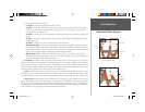
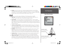
• Keel Offset — allows you to offset the surface reading for the depth of a keel in order to measure
depth from the bottom of your keel instead of from the transducer’s location. Enter a positive
number to offset for a keel. It is also possible to enter a negative number to compensate for a large
vessel that may draw several feet of water. The ‘Keel Offset’ will be refl ected in the depth reading.
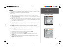
• Transducer Type — does not appear in Simulator Mode. Allows you to specify what type of trans-
ducer you are using. ‘User Defi ned’ is reserved for future use. Do not use unless instructed.
• Calibrate Water Speed — this will only appear if you are using a speed-capable transducer/sensor.
Calibration is required to ensure that the Water Speed displayed on your unit is accurate. The unit
automatically uses GPS ground speed (if available via NMEA input) for comparison on the calibra-
tion. If a GPS ground speed is not available, use either your boat’s speedometer reading (not always
Unit Operation
Main Menu Options
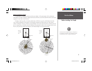
Transducer at Surface
Enter (+) positive Keel Offset
number to show depth
from bottom of keel
Transducer at Bottom of Keel
Enter (-) negative Keel Offset number to
show depth from surface
Main Menu - Sonar Tab
250C Manual.indd 21 1/27/2004, 3:55:14 PM


