


3.5” Daylight viewable transflective color LCD
Submersible to IPX7 Standard: Submersible to 1 meter for at least 30min.
12 Channel Satellite Differential GPS with WAAS
Built in world map and Navionics Gold chart support on compact flash cards
Unlimited waypoint, route and track storage using compact flash cards
Raymarine SmartRoute™ automatically builds routes and waypoints from
previous tracks
Autozoom Mode intelligently maintains your vessel and your waypoint on
the best chart scale while underway
Screen Amplifier automatically offsets your vessel position for maximum
“look ahead” on the chart display
Chart rotation modes: North Up; Course Up and Head Up
Accepts 4 AA NiMH rechargeable (included) or alkaline batteries for
handheld operation
Supplied with Cradle/Charger and NMEA/Power cable
Submersible
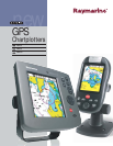
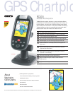
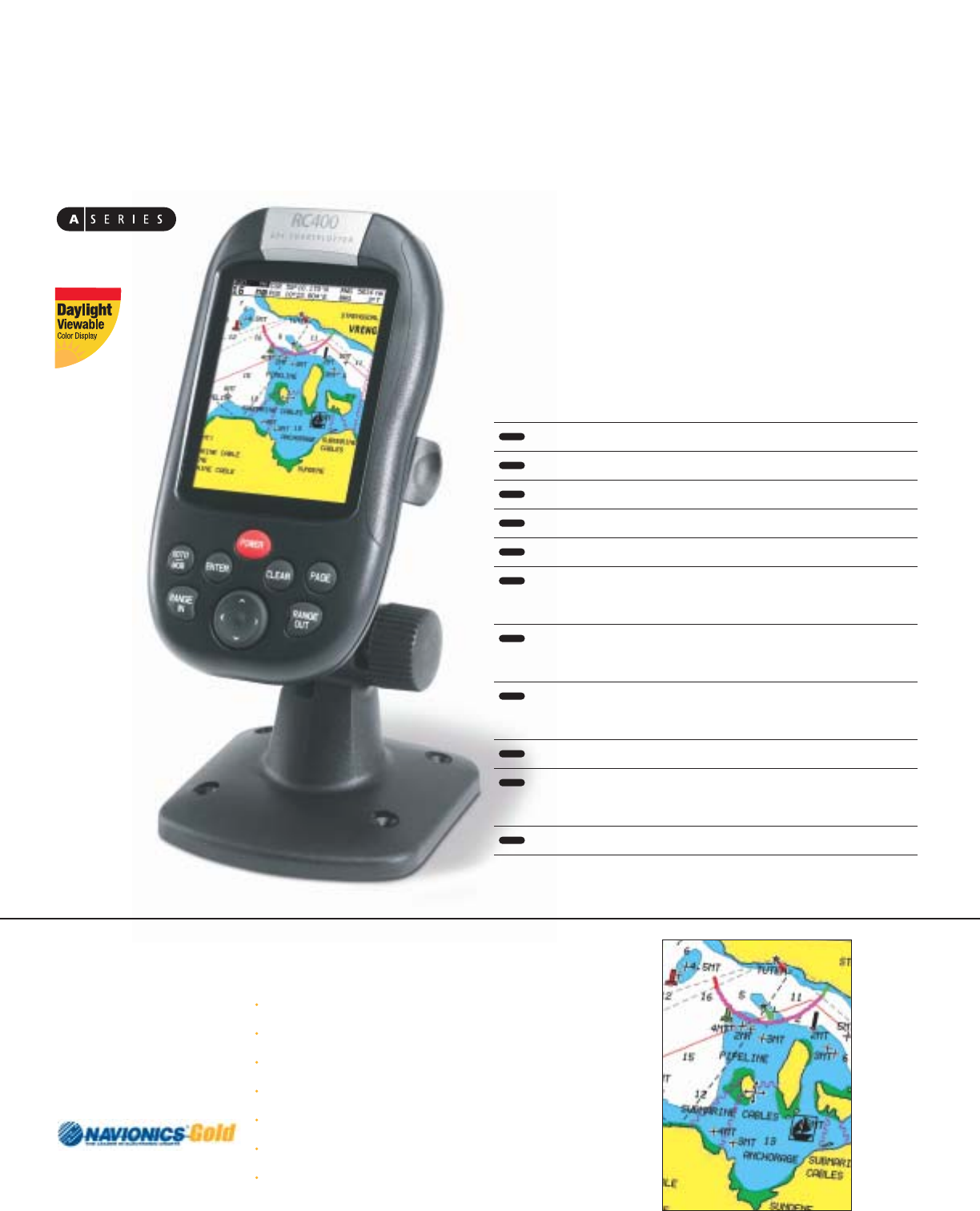
The RC400 packs big navigation features into a compact and portable GPS that
harness’s the power of Navionics Gold cartography for paper chart like clarity, and
fast screen updates. Both fixed mount and portable, the RC400 comes standard
with a mounting bracket and cables for 12-volt power and NMEA 0183 interfacing.
The battery compartment holds 4 AA rechargeable Nickel metal hydride (NiMH)
batteries and also accepts alkaline batteries for added convenience.
RC400
Portable GPS Chartplotter
GPS Chartplo
To learn more about Navionics Gold charts and to browse the complete Navionics chart catalog go to www.navionics.com
Familiar appearance of a paper charts
A clear uncluttered chart display on every range scale
Shaded Depth Contours
Real-world shapes and colors of buoys and navaids.
Spot Soundings
Tides and Currents
Port Plans and Port Service Guides
About
Navionics
Gold Charts