nüvi 2585TV Owner’s Manual 15
Taking a Detour
While navigating a route, you can use detours
to avoid obstacles ahead of you, such as
construction zones.
NOTE: If the route you are currently navigating is
the only reasonable option, your device might not
calculate a detour.
From the map, select
> Detour.
Stopping the Route
From the map, select .
Updating Speed Limits
The speed limit icon feature is for information only
and does not replace the driver’s responsibility to
abide by all posted speed limit signs and to use
safe driving judgment at all times. Garmin will not
be responsible for any trafc nes or citations that
you may receive for failing to follow all applicable
trafc laws and signs.
An icon displaying the current speed limit may
appear as you travel on major roadways.
1
From the map, select > Set Speed Limit.
2
Select and to set the speed
limit.
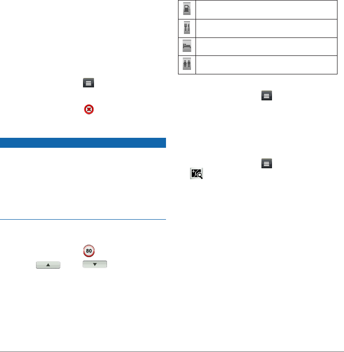
About Exit Services
While you navigate a route, you can nd petrol,
food, lodging, and toilets near upcoming exits.
Services are listed under tabs by category.
Petrol
Food
Lodging
Toilets
Finding Exit Services
1
From the map, select > Exit Services.
2
Use the arrows to select an upcoming exit.
3
Select an exit service tab.
4
Select a point of interest.
Navigating to an Exit
1
From the map, select > Exit Services >
�
2
Select Go!.
Avoiding Road Features
1
Select Settings > Navigation > Avoidances.
2
Select the road features to avoid on your
routes, and select Save.
Avoiding Transit Types
NOTE: Transit types are available when
cityXplorer maps are loaded (page 20).
1
Select Settings > Navigation > Public
Transit.
2
Select the transit type to avoid on your routes.
3
Select Save.


