


i
BlueChart g2 User’s Guide
IntroductIon > overvIew
IntroductIon
BlueChart
®
g2 is Garmin’s exclusive line of highly-detailed marine cartography. BlueChart
g2 cartography features smoother layering and better integration of map graphics for faster
redraws and more cohesive panning, scrolling, and zooming.
Overview
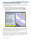
Blue Chart g2 features richer colors and shading for easier interpretation and improved
visibility. BlueChart g2 has all the detail of traditional BlueChart, but with additional
functions, such as an optional “mariner’s-eye view” map perspective. With BlueChart g2
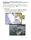
preprogrammed data cards, you can access costal roads and points of interest (POIs) as well as
a growing worldwide database of high-quality navigationally signicant photos. These photos
give “real picture” detail for many harbors, ports, marinas and coastal features.
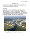
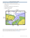
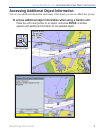
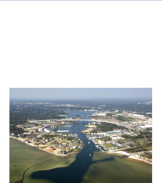
BlueChart g2 cartography features a growing database of aerial
photography to give mariners a visual overview of harbors,
marinas, waterways, and other points of reference.