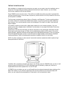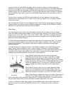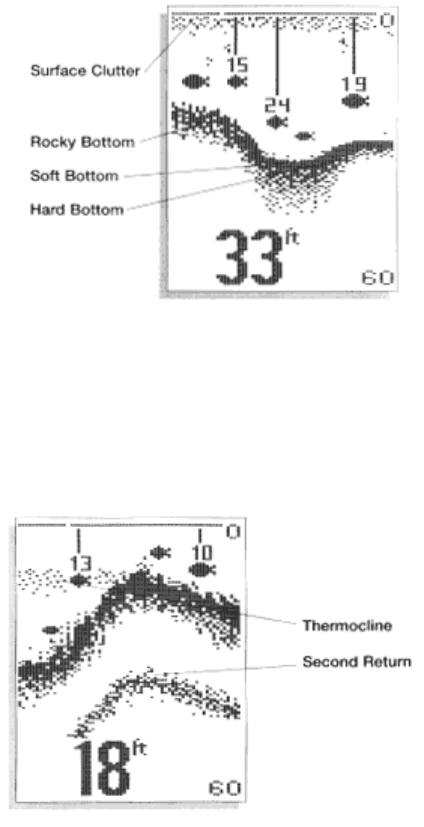
or sand, the depiction will be thick and less dense. This indicates that much of the signal is absorbed by
the soft bottom. If the bottom is rocky or rugged in composition, the depiction is of varying density and
textured in appearance.
Wave action also affects the bottom depiction. Remember that the information drawn is a distance
measurement, so if the boat is moving up and down over flat bottom, the bottom depiction often appears
in regular variations which match wave timing.
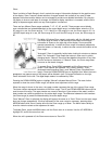
Structure is defined as any object physically attached to the bottom. The sonar configuration of the Wide
128 is optimized to give the most accurate depiction of bottom structure possible. Grass, trees, stumps,
wrecks or other debris are accurately displayed, however the depiction of these objects varies with boat
speed and direction. The best way to learn to interpret structure is to operate the Wide 128 over a variety
of known conditions and experiment with user functions to best represent those conditions on-screen.
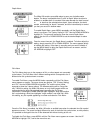
Sonar targets which are not physically attached to the bottom may take one of many shapes. Surface
clutter is the layer of water near the surface which is rich in algae and other growth, and often is aerated
by wind or wave action. This area of water interferes with sonar transmission and often appears on-
screen as regular clusters of individual dots near the "0" line.
Thermoclines are sharp differences in water temperature. These are easily identified by the continuous
nature of the return.
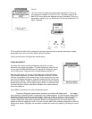
ID+ adds an additional piece of information to help the user locate fish. On selected fish symbols, the
digital depth of the designated fish is drawn to help locate the fish vertically. This is especially helpful in
setting bait depths or for downrigger operation.


