


63
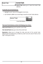
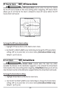
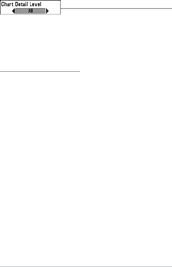
Chart Detail Level
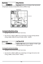
Chart Detail Level allows you to select how much chart
detail you want displayed on the Navigation Views. Basic shows land areas, ports,
obstructions and restricted areas. Navigation shows navaids, landmarks, ferryways and
navigation routes in addition to the Basic information. Underwater shows depth
contours, fishing areas, underwater wrecks, tides and currents in addition to the Basic
and Navigation information. All shows roads, buildings, railways, and other notations in
addition to the Basic, Navigation and Underwater information.
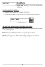
To change the Chart Detail Level setting:
1. Highlight Chart Detail Level on the Chart main menu.
2. Use the LEFT or RIGHT 4-WAY Cursor Control keys to change the Chart Detail
Level setting. (Basic, Navigation, Underwater, All, Default = All)
NOTE: Some chart details are only available with optional-purchase MMC/SD cards.