51
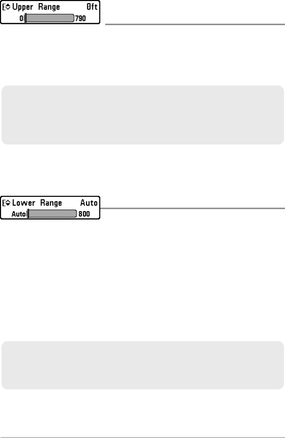
Upper Range
(Advanced: Sonar and Big Digits Views only)
Settings: 0 to 790 ft or 0 to 257 m [International Models
only]; Default = 0
Upper Range sets the shallowest depth range that will be displayed on the Sonar
and Big Digits Views. Upper Range is often used with Lower Range.
NOTE: A minimum distance of 10 feet will be maintained between the Upper and
Lower Range regardless of the manual settings entered.
Lower Range
Settings: AUTO, 10 to 800 ft, 3 to 260 m [International
Models only]; Default = AUTO
Lower Range sets the deepest depth range that will be displayed by the unit.
Auto: The Lower Range will be adjusted by the unit to follow the bottom
automatically. Auto is the default setting.
Manual: You can adjust the Lower Range to lock the unit on a particular depth.
“M” will be displayed in the lower right corner of the screen to indicate the unit
is in Manual mode. Adjust the Upper and Lower Range together to view a
specific depth range, especially when looking for fish or bottom structure.
NOTE: A minimum distance of 10 feet will be maintained between the Upper and
Lower Range regardless of the manual settings entered.
For example, if you are fishing in 60 feet of water but are only interested in the first 30
feet (surface to a depth of 30 feet), you should set the Lower Depth Range limit to 30.
The display will show the 0 to 30 foot range, which allows you to see a more detailed
view than you would see if the display went all the way to the bottom.
For example, if you are only interested in the area between 20 and 50 feet deep, you
should set the Upper Depth Range to 20 and the Lower Depth Range to 50. The Sonar
View will then show the 30 foot area between 20 and 50 and will not show the surface
or the bottom (assuming the bottom is deeper than 50 feet). Greater detail will be shown
for the area between 20 and 50 feet.
Sonar X-Press™ Menu


