


40
41
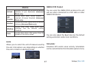
Chart Operation | Elite-5 HDI
Chart Operation | Elite-5 HDI
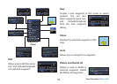
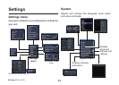
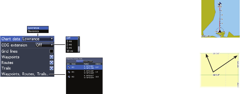
Chart Settings
Controls map data used on the chart screen as well
as display settings like grid lines, waypoints, routes
and trails.
Chart Data
Selects map data that will be used on the Chart
display (Lowrance or Navionics regional map). Go
to Navionics.com to see a full selection of available
charts.
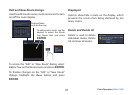
Chart Settings menu
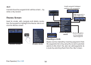
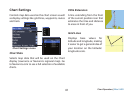
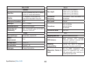
COG Extension
A line extending from the front
of the current position icon that
estimates the time and distance
to areas in front of you.
Grid Lines
Displays base values for
latitude and longitude, making
it easier to get a general idea of
your location on the latitude/
longitude scale.