


20
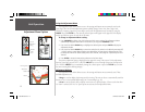
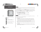
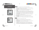
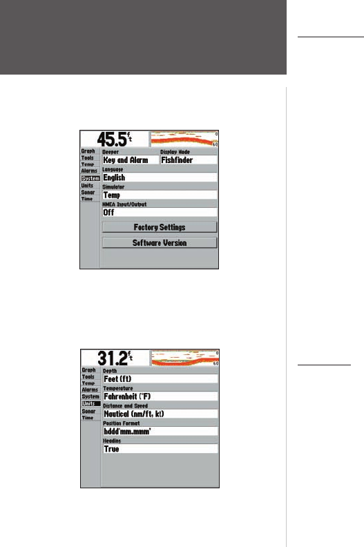
System Tab
Controls various system and interface settings. The following settings are available:
• Beeper — controls audible beep. Select from ‘Off’, ‘Alarms Only’ (sounds for alarms/messages), or
‘Key and Alarm’ (sounds for key presses and alarms/messages).
• Display Mode — select ‘Fishfi nder’ to display the scrolling sonar image on the Sonar Page, or select
‘Depth Sounder’ to show only numeric data for Depth, Water Temp, and Water Speed.
• Language — select from various languages for the unit’s on-screen display.
• Simulator — lets you simulate unit operation using a Depth Only, Depth/Temp, Depth/Speed, or
Depth/Temp/Speed transducer. If prompted, choose ‘No’ to the retail demonstration mode for normal
consumer simulator use. If the unit does not detect a transducer, it will automatically enter Simulator
Mode. While in Simulator mode, a ‘Running Simulator’ message appears after 2 minutes of inactivity.
• NMEA Input/Output — controls the input/output of NMEA 0183 version 2.3 data to/from the unit.
This setting must be ‘On’ in order to receive GPS navigational data and send Sonar NMEA data. See
pages 5-6 for details on available NMEA sentences.
• Factory Settings — restores all settings to the original factory default values for the entire unit.
• Software Version — displays the unit’s software version and electronic serial number.
• Reset Odometer — this will only appear if you are using a speed-capable transducer/sensor. Resets the
odometer fi eld back to zero. See “Confi guring Advanced Data Fields” on p. 17 for more information.
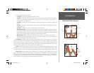
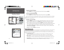
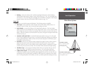
Units Tab
Defi nes units of measure. The following settings are available:
• Depth — select units of measure for depth in Feet (ft), Fathoms (fa), or Meters (m).
• Temperature — select units of measure for temperature in Fahrenheit (°F) or Celsius (°C).
• Distance and Speed — select units of measure for distance and speed readouts in ‘Nautical’ (nm/ft,
kt), ‘Nautical’ (nm/m, kt), ‘Statute’ (mi, mh) or ‘Metric’ (km, kh) terms.
• Position Format — changes the coordinate system in which a position reading is displayed.
The default format is latitude and longitude in degrees, minutes, and thousandths of a minute
(hddd°mm.mmm’). The following additional formats are available: Latitude/longitude in decimal
degrees (hddd.ddddd°) and Latitude/longitude in degrees, minutes, and seconds (hddd°mm’ss.s”).
Unit Operation
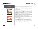
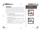
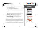
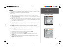
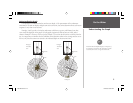
Main Menu Options
Main Menu - System Tab
Main Menu - Units Tab
250C Manual.indd 20 1/27/2004, 3:55:13 PM