


112
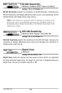
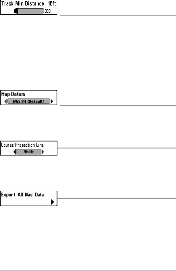
Track Min Distance
(Advanced)
Settings: 1 to 300 feet, or 1 to 100 meters [International
Units only]; Default = 16 ft, 5 m
Track Min Distance allows you to set a minimum distance of travel before a
trackpoint is added to the track.
Track Min Distance works in conjunction with Trackpoint Interval. Both
conditions must be met before a trackpoint is added to the current track. During
slow travel or drift, setting both Trackpoint Interval and Track Min Distance to
small values will allow you to increase the track resolution.
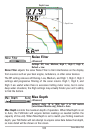
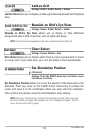
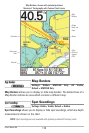
Map Datum
(Advanced)
Settings: Various, Default = WGS 84
Map Datum allows you to change the map coordinate system used by the
Fishfinder to match those of a paper map.
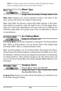
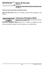
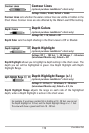
Course Projection Line
Settings: Hidden, Visible; Default = Visible
Course Projection Line allows you to display or hide an arrow extending from the
bow of the boat that projects your current course, and shows where the boat will
go if you continue on your present course.
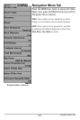
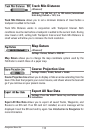
Export All Nav Data
Settings: Press the RIGHT Cursor key and follow screen
instructions.
Export All Nav Data allows you to export all saved Tracks, Waypoints, and
Routes to an SD card. If an SD card isn’t installed, an error message will be
displayed. Insert the SD card and try again. See Introduction to Navigation for
more information.
Navigation Menu Tab