


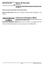
117
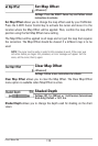
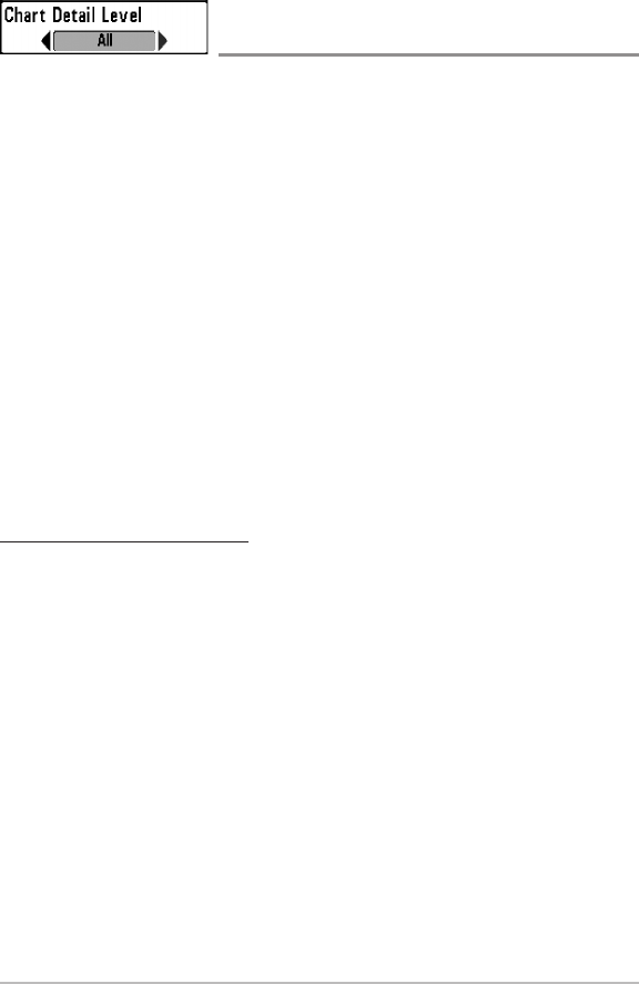
Chart Detail Level
(optional-purchase Navionics® charts only)
Settings: Basic, Navigation, Underwater, All, Custom;
Default = All
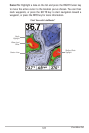
Chart Detail Level allows you to select how much chart detail you want
displayed on the Navigation Views.
NOTE: Somechart details areonlyavailable with optional-purchaseSD memorycards.
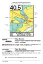
Basic shows land areas, ports, obstructions, and restricted areas.
Navigation shows navaids, landmarks, ferryways, and navigation routes
in addition to the Basic information.
Underwater shows depth contours, fishing areas, underwater wrecks,
tides and currents in addition to the Basic and Navigation information.
All shows roads, buildings, railways, and other notations in addition to
the Basic, Navigation, and Underwater information.
Custom (Advanced user mode) allows you to display or hide chart layers
on the Navigation Views. The available chart layers include Navigable
Canals, Boundaries, Restricted Areas, Coastline, Bridges, etc.
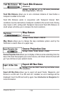
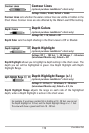
To customize the chart layers:
1. Select Chart Detail Level from the Chart Menu Tab. Press the RIGHT
Cursor key to select Custom. Selecting Custom adds the Custom Chart
Layers menu to the Chart menu.
2. Press the DOWN Cursor key to select Custom Chart Layers, and press
the RIGHT Cursor key to access the submenu.
3. Use the 4-WAY Cursor key to select a layer and turn it on (visible) or off
(hidden). All changes take place immediately.
Chart Menu Tab