


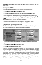
142
Press ↓ to
SELECT ORIGIN|ENT|ENT|ENT to bring up the waypoint list. Se-
lect the waypoint that you saved the reference point under and press
ENT. The unit displays a waypoint information screen with the com-
mand
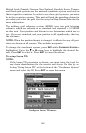
SET AS ORIGIN selected; press ENT and the unit returns to the Con-
figure Map Fix menu. Finally, press
EXIT to erase this menu. Now press
↑ to
COORD SYSTEM|ENT, select MAP FIX from the list and press ENT|EXIT.
All position information now shows as a distance from the reference
point you chose.
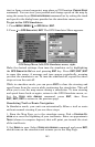
Customize Page Displays
The Position, Navigation, and Map pages all have customizable options.
These options decide which information is viewable on each page.
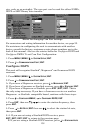
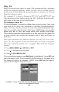
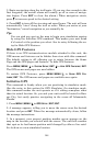
Customize Satellite Status Page
While on the Satellite Status Page, press
MENU|↓ to CUSTOMIZE|ENT.
Press ↓ or ↑ to select a display option window. With the display window
highlighted and flashing, press
ENT to open a list of options. Scroll ↑
and ↓ to select a different display option, then press
ENT. After all op-
tions are set, press
EXIT to return to the page display.
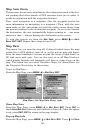
Customize Navigation Page
While on the Navigation Page, press
MENU|↓ to CUSTOMIZE|ENT. Press ↓
or ↑ to select a display option window. With the display window high-
lighted and flashing, press
ENT to open a list of options. Scroll ↑ and ↓
to select a different display option, then press
ENT. After all options are
set, press
EXIT to return to the page display.
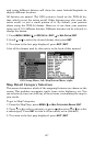
Customize Map Page
While on the Map Page, press
PAGES|↓ or ↑ to select Option
Name|
ENT.
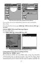
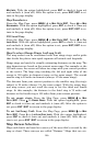
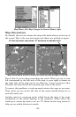
DGPS Status
The DGPS Status screen shows whether DGPS is off or on, and it de-
scribes the quality of the DGPS signal. This screen is useful if you have
to diagnose a DGPS problem.
1. Press
MENU|MENU|↓ to GPS SETUP|ENT|↓ to DGPS STATUS|ENT.
2. The DGPS Status screen is displayed. To return to the previous page,
press
EXIT|EXIT|EXIT.
GPS Simulator
The GPS simulator lets you use the unit as if you were outdoors navi-
gating somewhere. It's a great way to practice using your unit. You can
set the starting location by entering latitude/longitude (Starting Posi-