


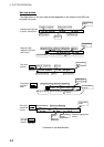
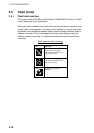
3. PLOTTER OPERATION
3-6
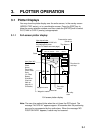
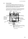
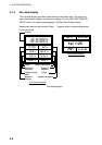
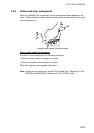
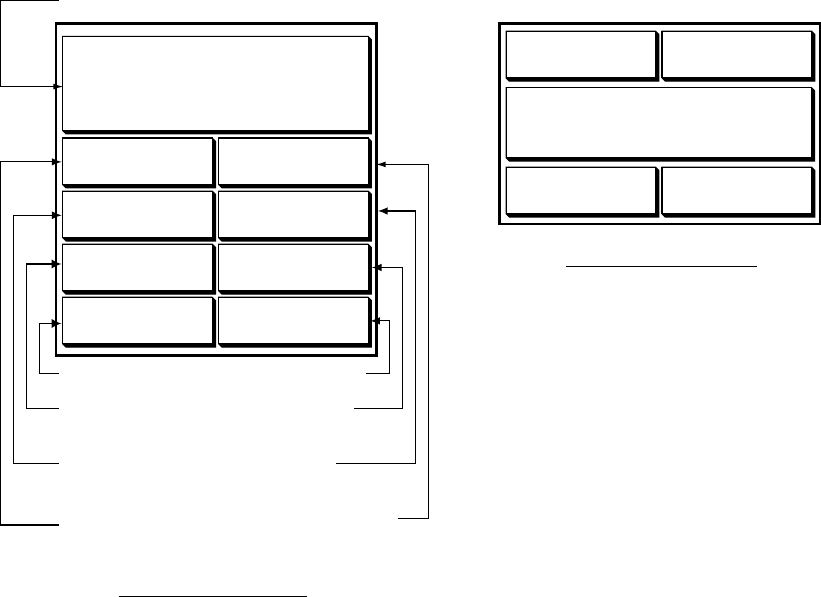
3.1.4 Nav data display
The nav data display provides comprehensive navigation data. The user may
select what data to display and where to display it, on the NAV DATA DISPLAY
SETUP menu. For details see paragraph “5.8 Nav Data Display Setup.”
Appropriate sensors are required. Bars ( - -) appear when corresponding sensor
is not connected.
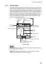
ETA
TTGTRIP LOG
103
nm
TIMEDATE
FEB 1
0
D
2
H
30
M
1st 1:25
01:27:05
2001
POSITION
34° 34. 5678' N
120° 34. 5678'
W
SOGWPT POSITION
COURSESTW
10.0
kt
RANGEBEARING
9.2°
M
TEMPDEPTH
Speed over ground
Position
Water temperature
Range to
waypoint
Course
Bearing to
waypoint
Speed through
water
Waypoint
Position
Depth
Half-screen display
Full-screen display
34° 14. 5678' N
120° 14. 5678'
W
10.0
kt
101.6°
M
0.18
nm
1324.1
ft
18.2 °
C
Nav data displays