


18
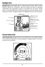
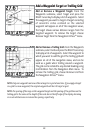
Viewing Cartography
In the Chart or Combo Views there are several cartography-related functions that you
can access using various keys.
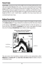
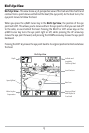
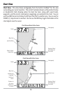
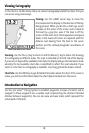
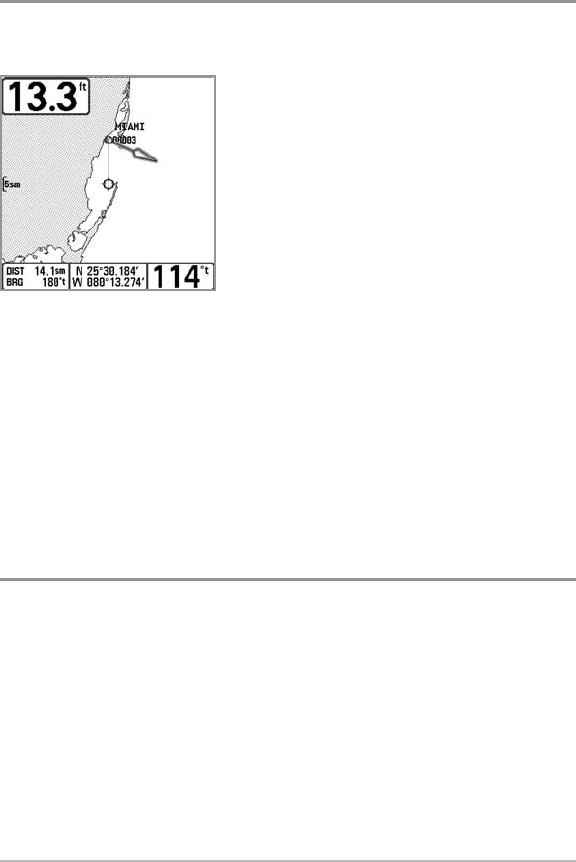
Panning: Use the 4-WAY Cursor keys to move the
chart around on the display in the direction of the key
being pressed. When you do this, a bull's eye cursor
is drawn at the center of the screen and is linked to
the boat by a gray line, even if the boat is off the
screen. At the same time, the temperature and speed
boxes in the lower left corner are replaced with the
distance and bearing from the boat to the cursor
position and the latitude/longitude coordinates of
the cursor.
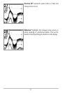
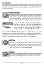
Zooming: Use the Plus (+) key to Zoom In and the Minus (-) key to Zoom Out showing
the cartography at different scales. The scale is indicated on the left side of the display.
If you zoom in beyond the available chart data, the display will go into Overzoom mode
whereby the last available chart data is amplified to reflect the scale selected. If you
zoom in so far that no cartography is available, a lat/long grid will be drawn instead.
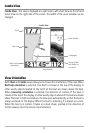
Chart Info: Use the INFO key to get detailed information about the chart. If the cursor is
active, you will see information about the chart objects located near the cursor.
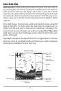
Introduction to Navigation
Use the 300 Series™ Fishing System to establish waypoints at areas of interest and to
navigate to those waypoints via a savable route (representing the shortest intended
distance between waypoints). You can also view and save tracks, which represent the
actual path of the boat.
Chart View with Cursor Present