


143
3. Longitude: press ↓ to
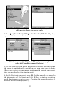
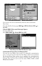
LONGITUDE|ENT. Press ↑ or ↓ to change the first
character, then press → to the next character and repeat until the lon-
gitude is correct. Press
EXIT.
4. When latitude and longitude are correct, return to the previous page:
press
EXIT|EXIT|EXIT|EXIT.
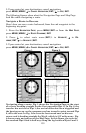
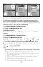
Selecting a Waypoint
To select a waypoint on the map (for navigating to, for editing, etc.,) use
the arrow keys and center the cursor over the waypoint. A highlighted
halo will appear around the waypoint.
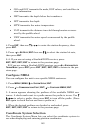
Set a Waypoint by Average Position
This feature sets a waypoint at the current position after taking several
position readings and averaging them. This boosts waypoint position
accuracy by helping to eliminate errors caused by atmospheric condi-
tions and other factors.
1. Press
WPT|→ to SUBCATEGORY column|↓ to NEW|ENT.
2. Press ↓ or ↑ to
AVERAGE POSITION|ENT|press → to CREATE|ENT.
3. Wait while the unit takes points to average for the position. (The greater
the number of points, the greater the accuracy.) When the desired number
of points accumulates, press
ENT to create and save the waypoint.
4. The Edit Waypoint menu appears. You can simply save the waypoint
by pressing
EXIT|EXIT or you can edit the waypoint.
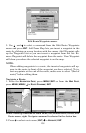
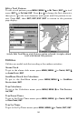
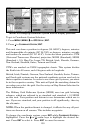
Set a Waypoint by Projecting a Position
This feature sets a waypoint at a point located a specific distance and
bearing from a reference position. The reference position can be se-
lected from your waypoint list, a map feature or from the Points of In-
terest list.
1. Press
WPT|→ to SUBCATEGORY column|↓ to NEW|ENT.
2. Press ↓ to
PROJECTED POSITION|ENT|→ to CREATE|ENT.
3. Press → to
CHOOSE REFERENCE|ENT. Use ↑ and ↓ to select a waypoint,
map feature or Point of Interest. When the point has been selected,
press
ENT and the point's position appears as the reference position.
4. Press ↓ to
DISTANCE|ENT. Press ↑ or ↓ to change the first character,
then press → to the next character and repeat until the distance is cor-
rect. Press
ENT.