


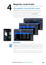
| 27
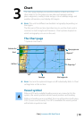
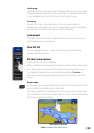
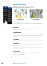
Chart | Lowrance HDS Gen2 Touch
Range Rings
You can turn on/off range rings from the chart settings menu.
The range rings can be used to show the distance from your vessel
to other chart objects. The range scale is set automatically by the
system to suit the chart scale.
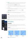
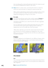
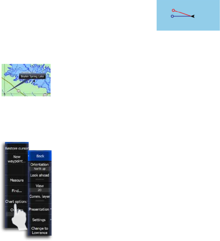
Heading and Course extension
The length of the extension lines are either set as a fixed distance,
or to indicate the distance the vessel will move in the selected time
period.
Vessel heading extension is aligned with
direction the vessel’s bow is pointing.
COG extension points the direction the
vessel is moving. If there is no heading
sensor, heading will default to the COG
value.
For other vessels COG data is included in the message received from
the AIS system.
Pop-up information
Selects whether basic information for chart items shall be displayed
when you tap the item.
Grid lines
Turns on/off viewing of longitude and latitude grid lines on the
chart.
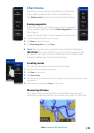
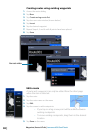
Waypoints, routes and trails
You can turn on/off viewing of waypoints, routes and trails on the
chart.
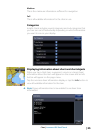
Navionics chart options
To view Navionics data, you must insert a Navionics mapping card
into the SD card slot on the front of the unit. The system will prompt
you to switch to SD card cartography when a card is inserted..
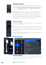
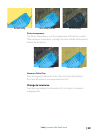
Orientation
Several options are available for how the chart is rotated on the
page. The chart orientation symbol in the upper right corner of the
page indicates the north direction.
COG
Heading