


Page 18 CP180 / CP180i
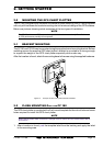
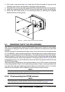
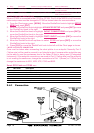
Figure 2.8 - FF520 50/200kHz BLACK BOX FISH FINDER
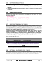
2.9 OUTPUTTING NMEA TO A PERSONAL COMPUTER
The GPS chart plotter can be connected to output Marks, Routes and tracks to many PC
programs available in the aftermarket. To send or receive User Points the PC Program must
be able to receive NMEA WPL and RTE sentences.
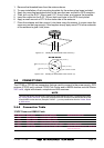
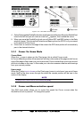
Pin PC DB9 connection NMEA connection
2 Receive Brown
3 Transmit Blue
5 Signal ground Green
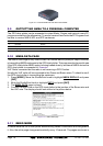
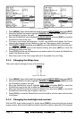
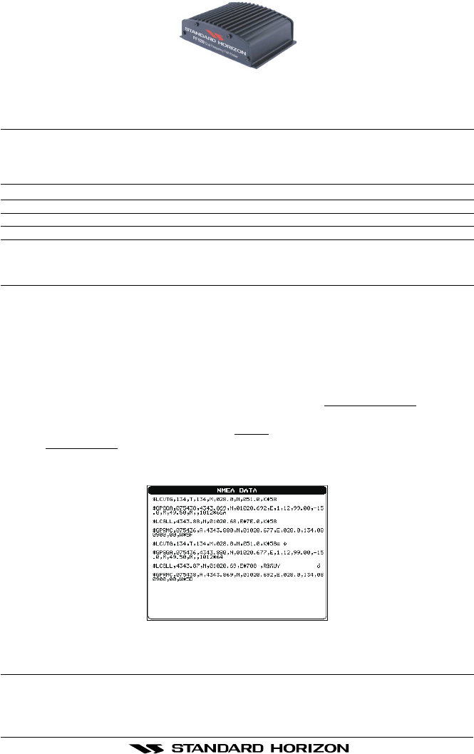
2.10 NMEA DATA PAGE
The NMEA Data Page is very useful to see if a External device (example: Depth Sounder)
is transmitting NMEA sentences to the GPS chart plotter. This page can also be used to see
if the GPS chart plotter NMEA output is being loaded down by a external NMEA device the
GPS chart plotter is connected to. Example:
VHF Radio connected but the radio is not receiving a GPS Position.
Usually the VHF radio will be connected to the Green and Brown wires. To check to see if
the GPS chart plotter is transmitting the sentences:
1. Press [MENU]. Move the ShuttlePoint knob to highlight
NMEA DISPLAY and press
[ENT].
2. Move the ShuttlePoint knob to highlight
DATA and press [ENT].
3. The
NMEA DATA page is shown.
4. Connect the Blue Wire on the GPS chart plotter to the junction of the Brown wire and
the VHF wire. The display should look similar to the picture below.
ENTER TO STOP
ZOOM IN TO CHANGE Port: NMEA1
Figure 2.10 - NMEA Data page
2.11 DEMO MODE
In Demo mode the GPS chart plotter automatically places a Destination and navigates to
it. Also, the active page changes automatically every 10 seconds. The pages are shown in