


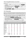

CP180 / CP180i Page 61
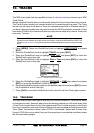
12. PAGES
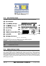
The GPS chart plotter has many pages that are designed to ease your navigation.
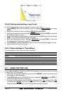
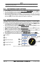
Figure 12 - Screen display pages
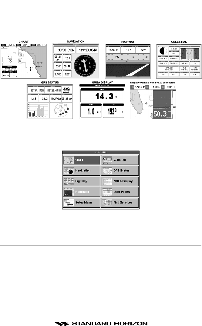
The pages can selected from the Main Menu page following the procedure:
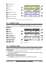
1. Press [MENU]. The following page is shown on the screen:
Figure 12a - Main Menu
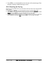
2. Move the ShuttlePoint knob to highlight the desired page and press [ENT].
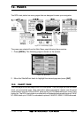
12.0 CHART PAGE
The Chart page is the main page of the GPS chart plotter. From this page the user can zoom
in/out, pan around the chart, show information about cartographic objects, see the exact
vessel position with the COG and SOG, place points, GOTO a destination point, show Track
history etc. The GPS chart plotter is provided with a Worldwide background showing C-MAP
NT
+
/MAX detail up to 2.0 NM. For more detail, optional C-MAP NT
+
/MAX C-CARDs are used.