


8. HOW TO CONTROL CHART OBJECTS
8-5
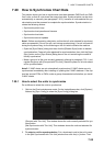
8.2.4 Display base
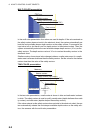
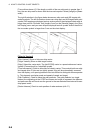
A subset of chart features is called the “display base”. As required by IMO, these fea-
tures cannot be made invisible. To get the display base, uncheck all items on the
[Standard] and [Other] pages in the [Chart Display] menu.
The display base consists of the following chart features:
• Coastline (high water)
• Own ship's safety contour, which is selected by the user
• Indication of isolated underwater dangers of depths less than the safety contour that
lie within the safe waters defined by the safety contour
• Indication of isolated dangers that lie within the safe water defined by the safety con-
tour such as bridges, overhead wires, etc., and including buoys and beacons wheth-
er or not these are being used as aids to navigation.
• Traffic routine systems
• Scale, range, orientation and operating mode
• Units of depth and height
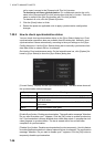
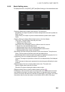
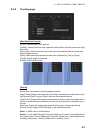
8.3 How to Control Visibility of Symbols, Features
Control of symbols and features is divided into five pages in the [Symbol Display]
menu, which you can access by clicking the [DISP], [SET] and [Symbol DISP] buttons
on the InstantAccess bar.
[General] page: Controls own ship and target related items.
[Tracking] page: Controls past tracks and some other features.
[Route] page: Controls planned and monitored route.
[Mariner] page: Controls user charts.
[Targets] page: Controls TT and AIS targets.
The user can define settings for chart details that are displayed over the chart area.
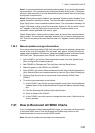
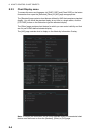
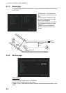
8.3.1 General page
[Ship Outlines]
[Ship Outlines]: Select [OFF] or [ON] to show minimized or scaled symbol, respective-
ly.
[AIS Outlines]: Select [OFF] or [ON] to show AIS targets in same size or scaled sym-
bol, respectively.
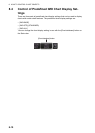
3 mm
3 mm