


90
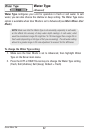
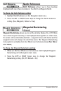
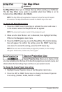
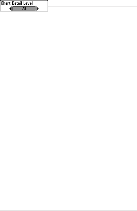
Chart Detail Level
Chart Detail Level allows you to select how much
chart detail you want displayed on the Navigation Views.
• Basic shows land areas, ports, obstructions and restricted areas.
• Navigation shows navaids, landmarks, ferryways and navigation routes
in addition to the Basic information.
• Underwater shows depth contours, fishing areas, underwater wrecks,
tides and currents in addition to the Basic and Navigation information.
• All shows roads, buildings, railways, and other notations in addition to
the Basic, Navigation, and Underwater information.
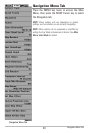
To change the Chart Detail Level setting:
1. Highlight Chart Detail Level on the Navigation main menu.
2. Press the LEFT or RIGHT Cursor keys to change the Chart Detail Level
setting. (Basic, Navigation, Underwater, All, Default = All)
NOTE: Some chart details are only available with optional-purchase MMC/SD cards.
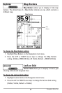
Navigation Menu Tab