3-4
RayChart 420/420D Chartplotter
Selecting a waypoint
Positioning the cursor over a waypoint selects that waypoint and accesses the
WAYPOINT OPTIONS function bar. This enables you to go to (described in
Section 3.4), edit (symbol, name, position), erase or move the waypoint.
Selecting a waypoint from the Waypoint List allows you to go to and edit
(symbol, name, position, erase) the waypoint. The Waypoint List also provides
options to make a new waypoint and transfer waypoints.
To select a waypoint using the cursor:
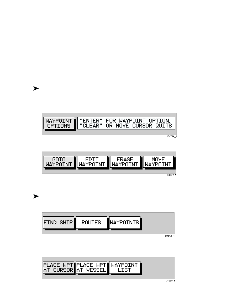
1. Move the cursor over the waypoint; the WAYPOINT OPTIONS function
bar, together with help text, is displayed:
2. Press ENTER to select the waypoint function bar:
The selected waypoint can be edited via these functions.
To select a waypoint using the Waypoint List:
1. Press ENTER to display the primary function bar:
2. Select WAYPOINTS and press ENTER to display the waypoint function
bar:
3. Select WAYPOINT LIST and press ENTER to display the Waypoint List.
The Waypoint List and associated function bar are displayed (see Placing
a waypoint).
The list details all waypoints. The selected waypoint is indicated by the
highlight bar with its position; bearing and range are provided (if GPS fix
available).
4. Use trackpad up/down to move through the list to highlight the required
waypoint.
The selected waypoint can be edited using the EDIT WAYPOINT function.


