


Page 56 GPS chartplotters
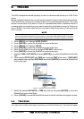
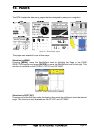
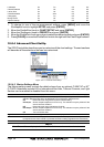
Figure 10b - Screen display pages (by Soft Keys)
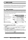
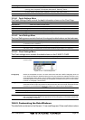
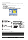
10.0 CHART PAGE
The Chart page is the main page of the chartplotter. From this page the user can zoom in/
out, pan around the chart, show information about cartographic objects, see the exact
vessel position with the COG and SOG, place points, GOTO a destination point, show Track
history etc. The chartplotter is provided with a world background map that allows zooming
into 2NM in North America. For more detail, optional C-MAP NT+ C-CARDs are used.
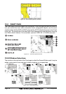
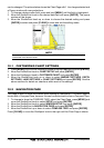
Figure 10.0 - Charts and general text area
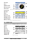
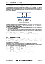
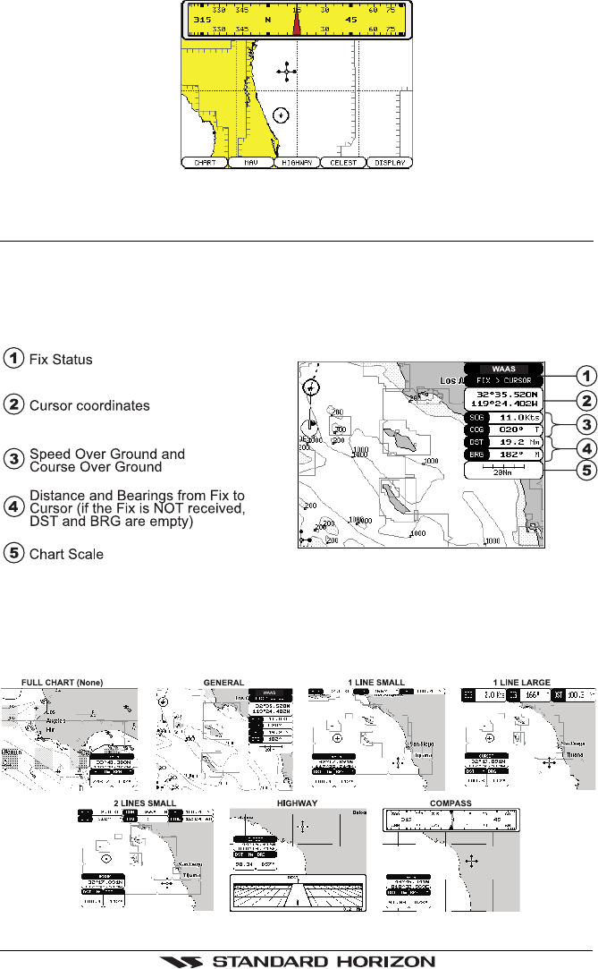
10.0.0 Window Selections
The window on the right side of the Chart page is called the General Window and it may be
edited, customized or even changed to show a highway or compass tape.
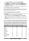
Figure 10.0.0 - Data window layout