


Foreword
xvi
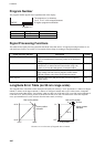
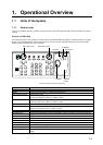
Program Number
The program number appears at the right-hand side of the display.
SINGLE xx.xx xx.xx
Program no.*
* The program no. is shown as
"xx.xx xx.xx" in this manual because
of regular program modification.
Device Program no. Date of Modification
Chart Processor 06.xx 10/2010
Radar Processor 03.xx 08/2010
xx=Minor modification
Signal Processing Functions
This radar has the signal processing functions described in the table below. All signal processing functions are set
with the Picture feature. See section 2.22 Automatic Picture Setup According to Navigation Purpose.
Signal processing function Description Section
Interference rejector
Suppress interference transmitted by other radars. Interference
received simultaneously from many radars can be difficult to
reduce.
2.10
Echo stretch
Enlarge target echoes, especially small echoes. Suppress
interference, sea clutter and rain clutter before using echo
stretch, to prevent the enlargement of unwanted echoes.
2.17
Echo averaging
The radar samples echoes with each scan. Targets that show a
large change with each scan are judged as clutter and are
reduced to display only echoes from legitimate targets.
2.18
Noise rejector
Suppress white noise and increase the S/N ratio to improve
picture clarity.
2.23
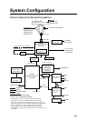
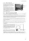
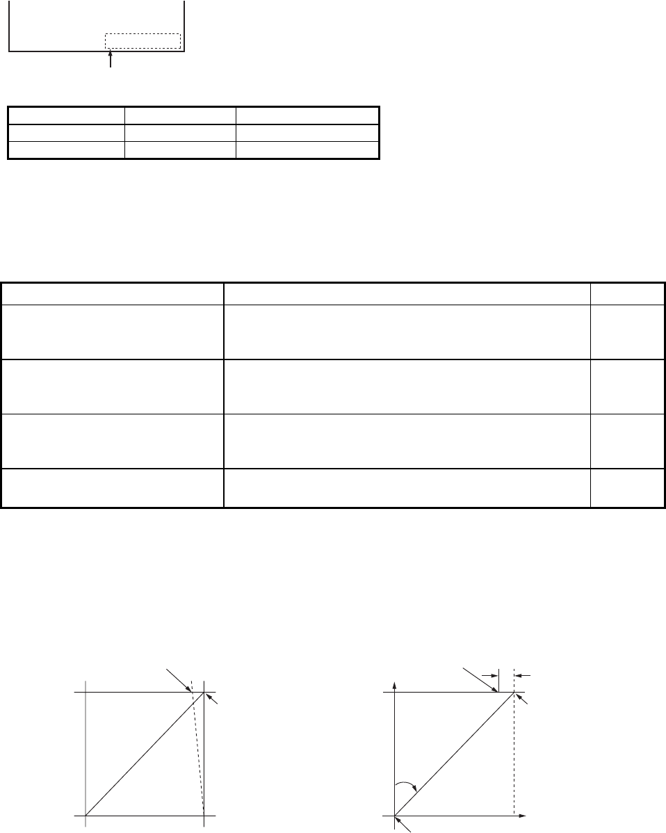
Longitude Error Table (on 96 nm range scale)
The longitude lines concentrate on the north pole and south pole, namely, 1 nm is equivalent to 1 minute at 0 degree
latitude, 2 minutes at 60 degrees latitude, 3 minutes at 70 degrees latitude and so on. For this reason, a longitude
error occurs on the radar display. For example, when own ship is at 60°N and 135°E, even if the cursor indication is
62°N and 139°E, the real cursor position is deviated to the left (west) side. The table below shows the longitude
error, represented from 0° to 90° at 96 nm from the radar center (own ship).
62°N °N
60°N
135°E
°E
96 nm
θ
Real cursor position
Cursor position
indicated
139°E
LAT
Real cursor position
R: Error
Cursor position
indicated
OS position
Distance error in direction of longitude due to latitude