


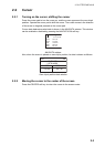
2. PLOTTER DISPLAYS
2-7
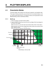
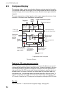
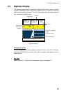
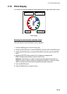
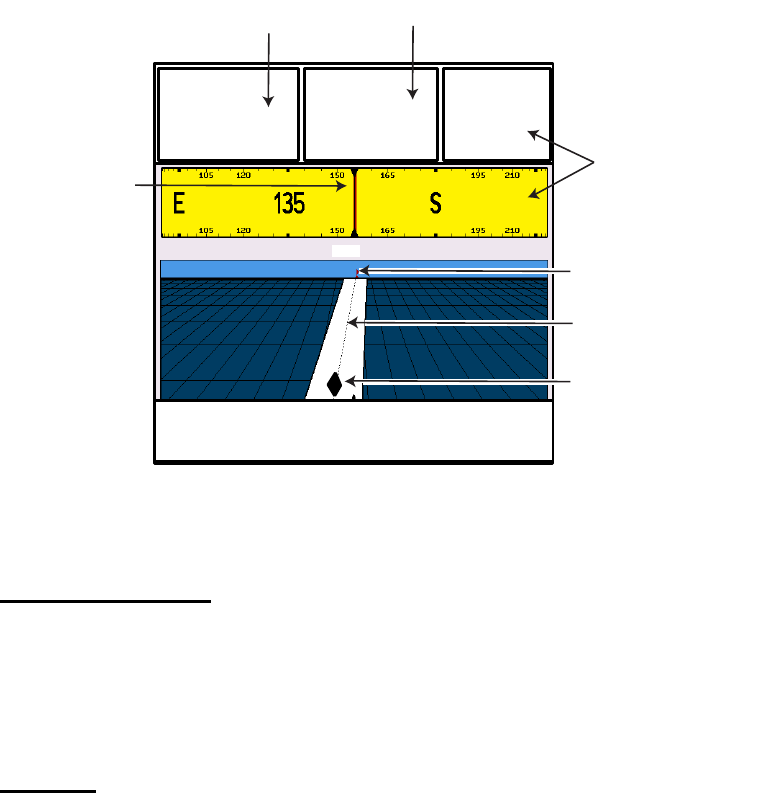
2.6 Highway Display
The highway display, shown in combination display with the plotter screen, provides
a graphic presentation of ship's track along intended course. It is useful for monitoring
ship's progress toward a waypoint. The own ship marker shows the relation between
your vessel and intended course.
Highway display
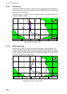
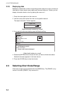
Changing the scale
You can change the scale of the highway display to 0.2, 0.5, 1.0, 2.0, 4.0 or 10.0 (nm).
Rotate the [ENTER] knob to change it. Note that the available range depends on own
ship's position.
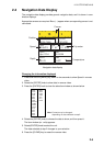
Nav data
Data marked with * in above can be changed to display. See page 2-5.
TIME*
12:28AM
SOG*
12.0KTs
COG*
044º
Turn knob to change scale: 0.2nm
Course
Speed
Current time
Own ship marker
Intended course
Destination waypoint
(Flag)
Bearing of
destination
waypoint