


38 GPSMAP 76Cx Owner’s Manual
MaIn Menu
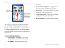
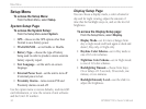
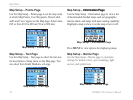
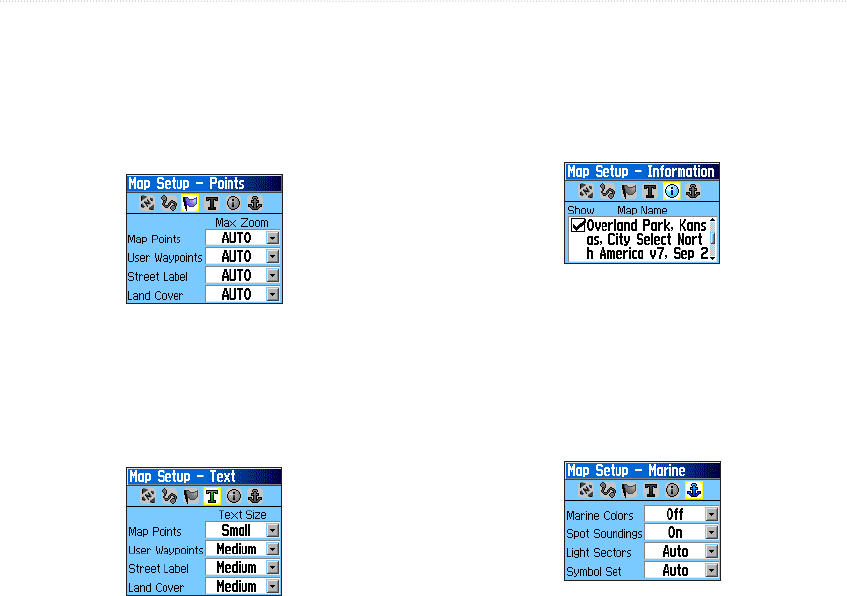
Map Setup – Points Page
Use the Map Setup – Points page to set the map scale
at which Map Points, User Waypoints, Street Label,
and Land Cover appear on the Map page. Select Auto,
Off, or from 20 ft to 800 mi (50 m to 800 km).
Map Setup – Points Page
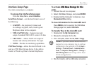
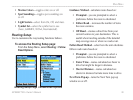
Map Setup – Text Page
Use the Map Setup – Text page to select the text size
for descriptions of map items on the Map page. You
can select from Small, Medium, or Large.
Map Setup – Text Page
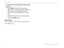
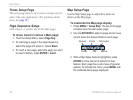
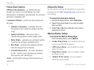
Map Setup – Information PageInformation Page
Use the Map Setup – Information page to view a list
of downloaded detailed maps such as topographic,
marine charts, and maps with auto-routing capability.
Highlight a map to show it on the map or turn it off.
Map Setup – Information Page
Press MENU to view options for displaying maps.
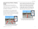
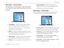
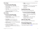
Map Setup – Marine Page
Use the Map Setup – Marine page to customize
settings for marine colors, spot soundings, light
sectors, and symbol sets.
Map Setup – Marine Page