


16
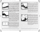
hour time period encompassing the date. You can change the date to look at tide
information before or after the date displayed by pressing the LEFT or RIGHT cursor
key respectively. Press the EXIT key to remove the information box and the cursor
bull’s eye will be centered over the tide station position. The cursor information
boxes at the bottom of the display will indicate the distance and bearing to the tide
station from your present position.
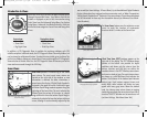
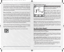
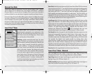
Nearest Current Station – Current information for the nearest current station to
your present position will be displayed. This includes the position of the station, the
date used for determining the current information, and the current changes. Two
graphs are also presented that show the time, direction and flow speed of the
current changes for the 24 hour time period emcompassing the date. You can
change the date to look at current information before or after the date displayed by
pressing the LEFT or RIGHT cursor key respectively. Press the EXIT key to remove the
information box and the cursor bull’s eye will be centered over the current station
position. The cursor information boxes at the bottom of the display will indicate the
distance and bearing to the current station from your present position.
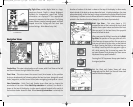
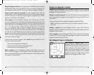
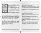
To display information about any of chart object icons, use the 4-Way Cursor key to
place the bullseye over the icon, then press the INFO key. Use the UP and DOWN
Cursor keys to scroll through the information displayed for the object.
Pressing the EXIT key removes the cursor from the screen.
Exit Button
W
W
a
a
ypoin
ypoin
ts
ts
, R
, R
out
out
es and T
es and T
r
r
ac
ac
k
k
s
s
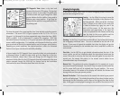
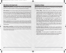
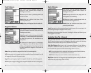
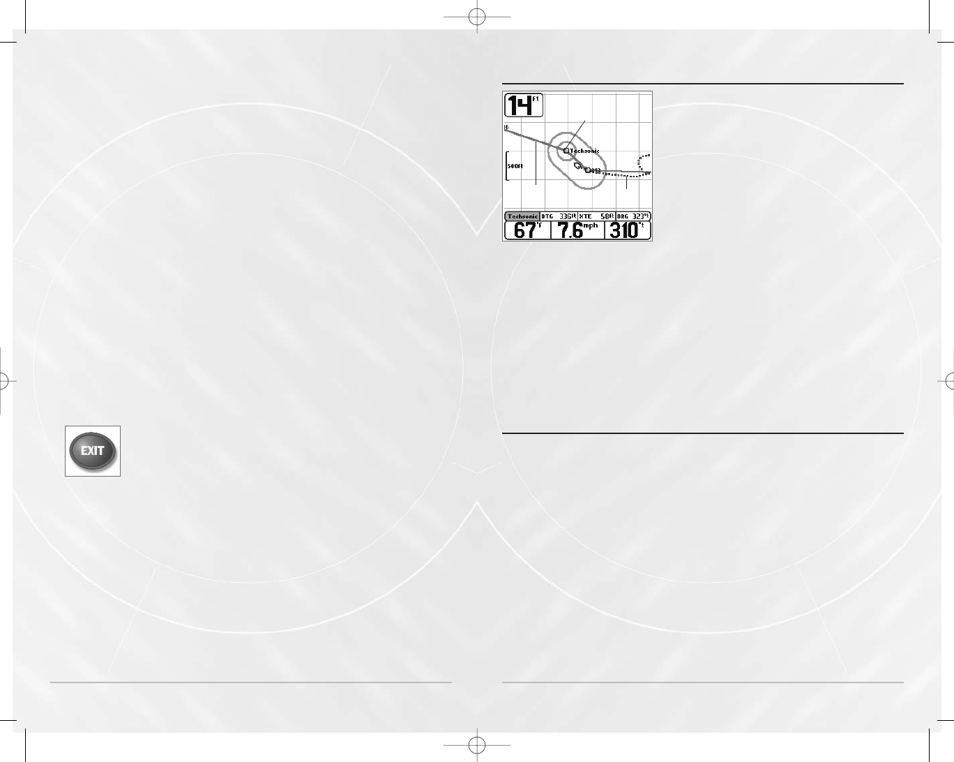
Waypoints are stored positions that allow you to
mark areas of interest or navigation points. Your
Matrix can store up to 750 waypoints.
Routes link two or more waypoints together to
create a path for navigation, and are used in trip
planning. You can link individual waypoints
together via menus or select them on-screen to
create a route. A route represents your intended
navigation and shows the shortest path from each
waypoint to the next. As you travel a route, staying
on the route line is the most efficient way to get to your destination. Your Matrix can
store up to 20 routes that can each contain up to 20 waypoints.
Tracks consist of detailed position history, and are displayed as a breadcrumb trail of
trackpoints. The Current Track shows the position history since the unit was
powered up. You can clear the Current Track or save it at any time. Your Matrix can
store up to 10 saved tracks, each containing 700 trackpoints. The current track
represents your actual path so far.
Sa
Sa
v
v
e, Edit, or Delet
e, Edit, or Delet
e a W
e a W
a
a
ypoin
ypoin
t
t
Save your current position as a waypoint: On any view, press the MARK key to save
the current position of the boat as a waypoint.
Save the cursor position as a waypoint: On the Combo or Track view, use the Cursor
key to designate the position you want to save as a waypoint. Then press the MARK
key to save the marked position as a waypoint.
Save a position from the sonar history: On the Sonar view, use the Cursor key to
point to a feature in the sonar history (also called the Sonar Saver feature). Press the
MARK key to create a waypoint at the location where that sonar reading was taken.
The new waypoint will also record the depth at that location.
NOTE: When you save a waypoint by any of these methods, a numerical waypoint name
is automatically assigned. You can edit the waypoint information later to give it a
different name and select an icon to represent it (see Edit a Waypoint).
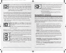
Waypoints, Routes and Tracks
Waypoint
Route
Track
17
M5565_ManE_531192-1_A.qxd 5/4/2003 9:39 PM Page 20