


30
T
T
r
r
ac
ac
k
k
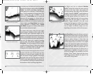
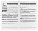
s Submenu
s Submenu
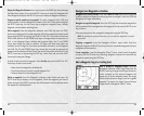
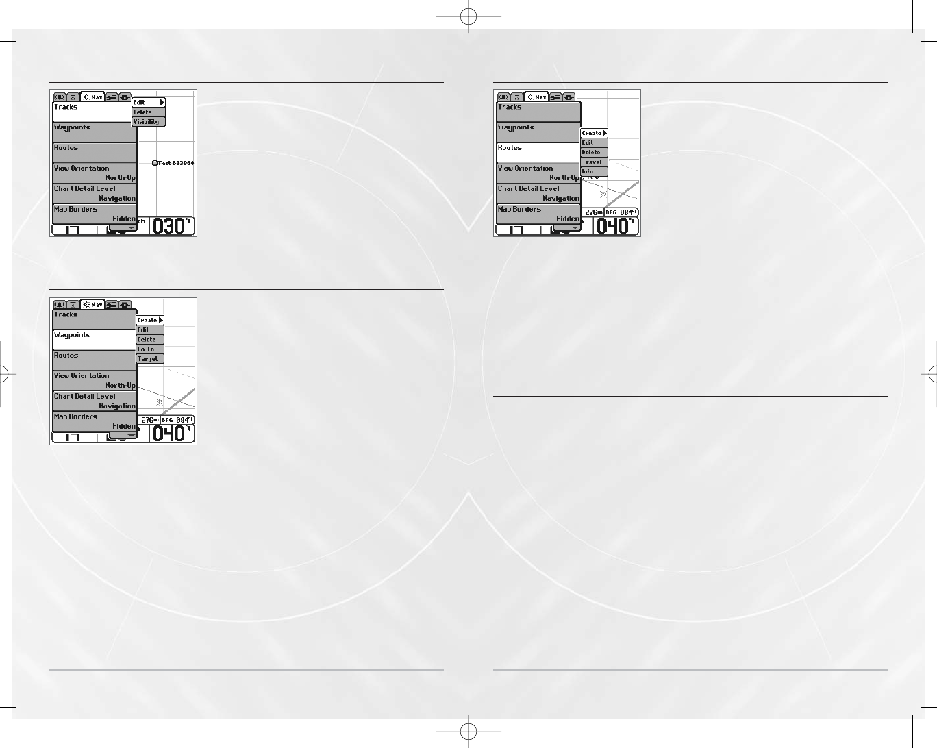
Select Tracks from the Navigation menu tab to
display the Tracks Submenu, which contains the
following menu choices:
Edit allows you to select a previously-saved track
and edit its name.
Delete allows you to delete a track from a list of
previously-saved tracks.
Visibility allows you to display or hide each saved track.
W
W
a
a
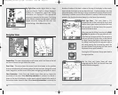
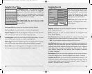
ypoin
ypoin
ts Submenu
ts Submenu
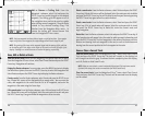
Select Waypoints from the Navigation menu tab to
display the Waypoints Submenu, which contains the
following menu choices:
Create allows you to create a new waypoint and edit it
immediately. The current boat position will be used as
the default, but you can set the coordinates to any
valid position.
Edit allows you to choose from a list of previously-
saved waypoints, then edit the Name, Position
(Latitude and Longitude) and select the Icon that will
be used to represent the waypoint in the Combo and
Track Views.
Delete allows you to delete a waypoint from the list of saved waypoints.
Go To allows you to select a waypoint and start navigation toward that waypoint, or add
that waypoint to the end of the current route.
Targ et allows you to apply a target to a waypoint selected from the list of waypoints.
Grid allows you to apply a trolling grid to a waypoint selected from the list of waypoints.
Waypoints Submenu
Tracks Submenu
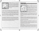
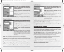
R
R
out
out
es Submenu
es Submenu
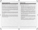
Select Routes from the Navigation menu tab to
display the Routes Submenu, which contains the
following menu choices:
Create allows you to create a new, empty route and
add waypoints to it immediately.
Edit allows you to select a previously-saved route and
edit its name and the waypoints on it.
Delete allows you to delete a route from a list of
previously-saved routes.
Travel allows you to select a previously-saved route to use as the current route; this
menu setting also begins navigation on this route.
Info displays information about the route, including the distance and bearing from
each waypoint to the next.
Na
Na
vig
vig
a
a
tion Menu T
tion Menu T
ab - Adv
ab - Adv
anc
anc
ed
ed
Press the MENU key twice to access the Main Menu System and then press the
RIGHT Cursor key twice to select the Navigation tab, which contains the following
additional menu choices when you are in Advanced User Mode:
Track Min Distance allows you to set a minimum distance of travel before a
trackpoint is added to the track.
(1 to 300 feet or 1 to 100 meters*, in increments of 1, and
units are determined by the current Units-Distance setting, Default = 16 ft, 5 m)
NOTE: During slow travel or drift, setting both Trackpoint Interval and Track Min Distance
to small values will allow you to increase the track resolution.
*NOTE: Metric units of measure are available on International models only.
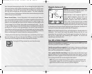
Map Datum allows you to change the map coordinate system used by the Matrix to
match those of a paper map.
(Default = WGS 84)
Routes Submenu
31
M5565_ManE_531192-1_A.qxd 5/4/2003 9:39 PM Page 34