


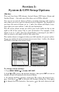
73
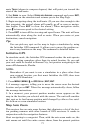
The Military Grid Reference System (MGRS) uses two grid lettering
schemes, which are referred to as standard and standard + 10 MGRS
on this unit. Your position and datum in use determines which one to
use. If you use standard and your position is off significantly try the
alternate.
NOTE:
When the position format is changed, it affects the way all positions
are shown on all screens. This includes waypoints.
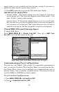
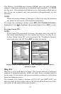
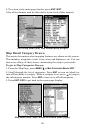
To change the coordinate system, press
ENT while COORDINATE SYSTEM is
highlighted. Use ↑ ↓ to highlight the desired format. Press
ENT to select
it.
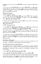
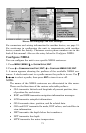
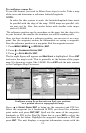
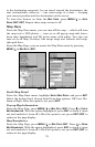
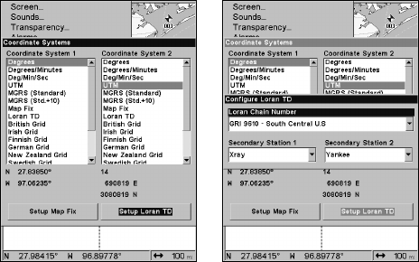
To setup Loran TD:
NOTE:
If the Loran TD conversion is chosen, you must enter the local Lo-
ran chain identification for the master and slaves. Do this by se-
lecting "Setup Loran TD" at the bottom of the "Coordinate System"
menu and select the ID. Press
EXIT to erase this menu.
Setup Loran TD highlighted (left) and Configure Loran TD menu
shown at right.
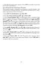
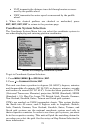
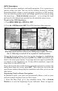
Map Fix
Map Fix is used with charts or maps. This system asks for a reference
position in latitude/longitude, which you take from a marked location
on the map. It then shows the present position as distance on the map
from that reference point.
For example, if it shows a distance of UP 4.00" and LEFT 0.50", you
then measure up four inches and to the left a half-inch from the refer-
ence point on the map to find your location.