


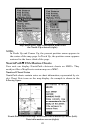
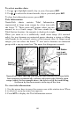
82
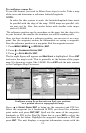
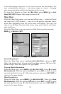
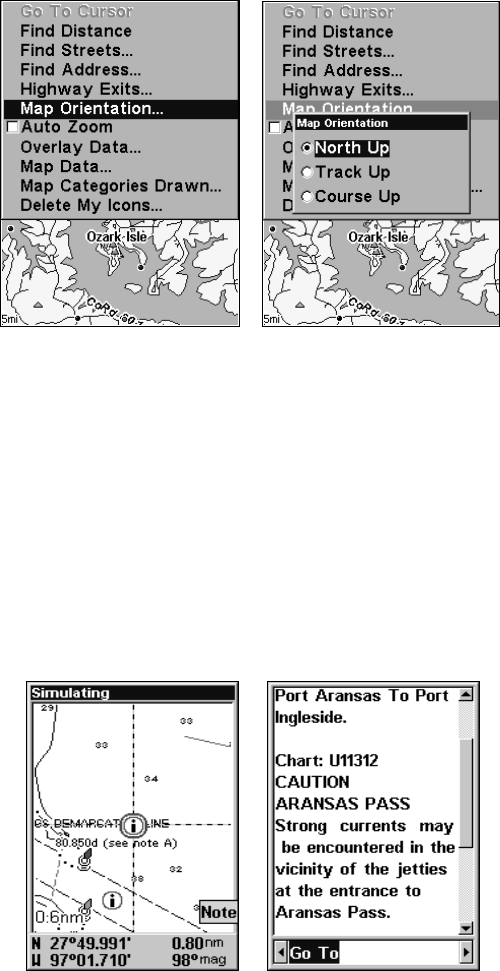
Map Menu (left). Map Orientation menu with
the North Up selected (right).
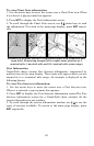
NOTE:
In North Up and Course Up, the present position arrow appears in
the center of the map page. In Track Up, the position arrow appears
centered in the lower third of the page.
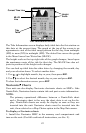
NauticPath USA Marine Charts
Your unit can display NauticPath electronic charts on MMCs. They
work just like a MapCreate custom map on a MMC.
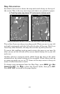
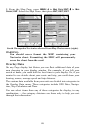
Nautical Chart Notes
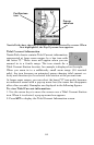
NauticPath charts contain notes or chart information, represented by cir-
cle-i Chart Note icons on the map display. An example is shown in the
following figure.
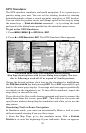
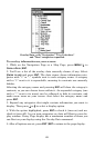
NauticPath chart showing Chart Note icon selected by cursor (left).
Note information screen (right).