


70
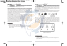
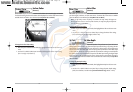
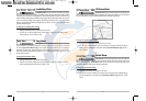
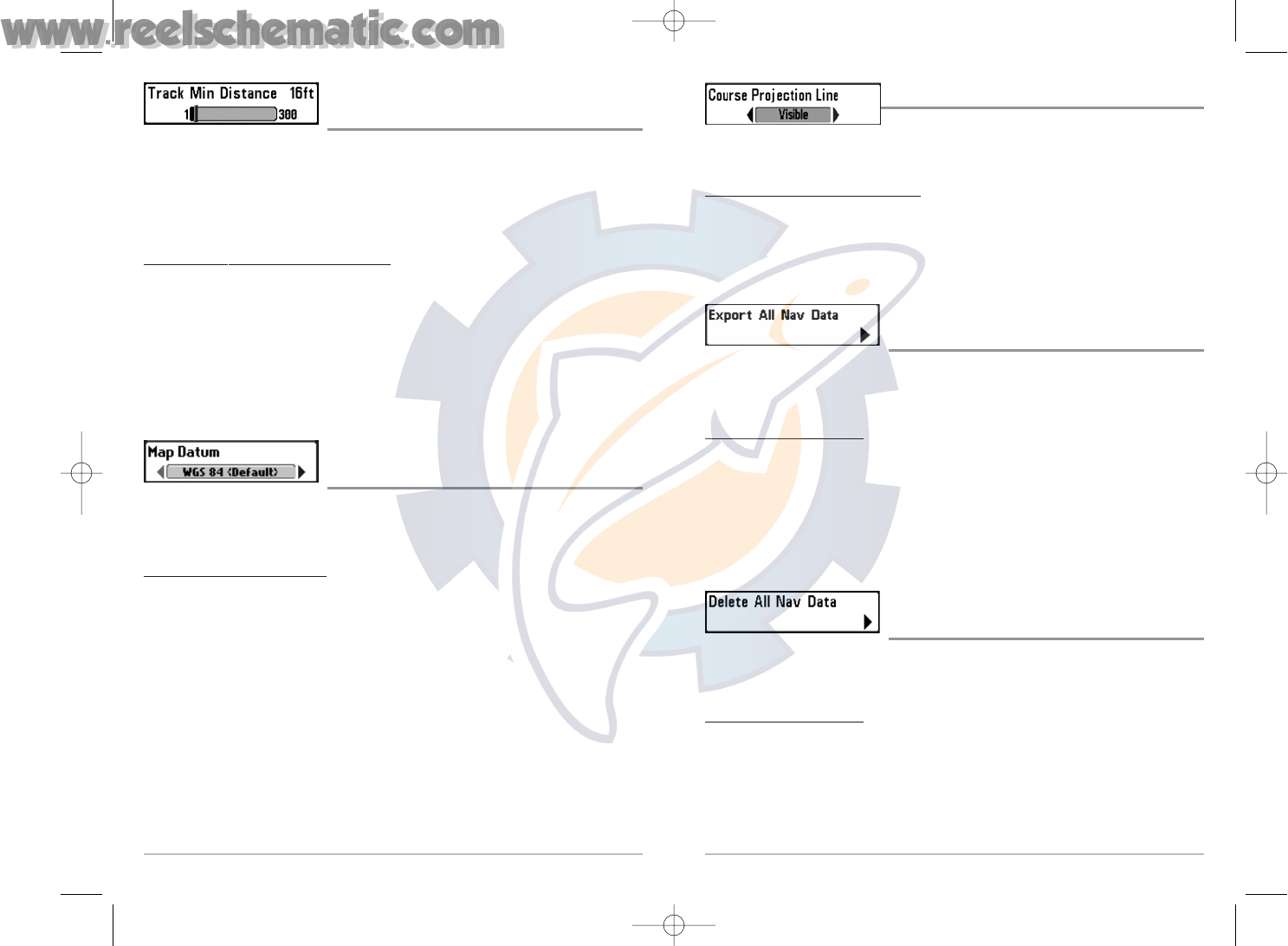
Course Projection Line
Course Projection Line allows you to display or hide an arrow
extending from the bow of the boat that projects your current course, and shows where the boat
will go if you continue on your present course.
T
o change the Course Project Line setting:
1. Highlight Course Projection Line on the Navigation main menu.
2. Use the LEFT or RIGHT 4-WAY Cursor Control keys to change the Course Projection Line
setting (Hidden, Visible, Default = Hidden)
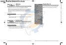
Export All Nav Data
(Advanced)
Export All Nav Data allows you to export all saved Tracks, Waypoints and Routes to an MMC/SD
card. The Export All Nav Data menu choice is only available when User Mode is set to Advanced
(see Setup Menu Tab: User Mode).
T
o Export All Navigation Data:
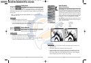
1. Make sure you are in Advanced User Mode, and that an optional-purchase MMC/SD card
is installed in the slot, then highlight Export All Nav Data on the Navigation main menu.
2. Use the RIGHT 4-WAY Cursor Control key to export all navigation data. A confirmation
dialog box will appear to allow you to change your mind, and to confirm your choice.
If no MMC card is installed, and error message will be displayed. Insert the MMC card
and try again.
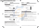
Delete All Nav Data
(Advanced)
Delete All Nav Data allows you to delete all saved Tracks, Waypoints and Routes. This menu choice
should be used with caution. The Delete All Nav Data menu choice is only available when User
Mode is set to Advanced (see Setup Menu Tab: User Mode).
T
o Delete All Navigation Data:
1. Make sure you are in Advanced User Mode, then highlight Delete All Nav Data on the
Navigation main menu.
2. Use the RIGHT 4-WAY Cursor Control key to delete all navigation data.
69
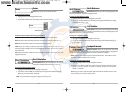
Track Min Distance
(Advanced)
Track Min Distance allows you to set a minimum distance of travel before a trackpoint is added
to the track. The Track Min Distance menu choice is only available when User Mode is set to
Advanced (see Setup Menu Tab: User Mode).
NOTE: Track Min Distance works in conjunction with Trackpoint Interval. Both conditions must be
met before a trackpoint is added to the current track.
T
o change the Track Minimum Distance setting:
1. Make sure you are in Advanced User Mode, then highlight Track Min Distance on the
Navigation main menu.
2. Use the LEFT or RIGHT 4-WAY Cursor Control keys to change the Track Min Distance
setting. (1 to 300 feet or 1 to 100 meters [International Units only], Default = 16 ft, 5 m)
NOTE: During slow travel or drift, setting both Trackpoint Interval and Track Min Distance to small
values will allow you to increase the track resolution.
Map Datum
(Advanced)
Map Datum allows you to change the map coordinate system used by the 700 Series™ Fishing
System to match those of a paper map. The Map Datum menu choice is only available when User
Mode is set to Advanced (see Setup Menu Tab: User Mode).
T
o change the Map Datum setting:
1. Make sure you are in Advanced User Mode, then highlight Map Datum on the Navigation
main menu.
2. Use the LEFT or RIGHT 4-WAY Cursor Control keys to change the Map Datum setting.
(Default = WGS 84)
531427-1_C - 767_Man_Eng.qxd 10/25/2005 10:30 AM Page 78