


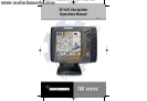
6
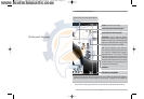
NOTE: Your 700 Series™ does not support Navionics® Classic Charts, only Navionics® Gold,
otMaps™, and HotMaps™ Premium.
Your unit also comes with a built-in Uni-Map™ with a more detailed map of North America
(Domestic models) or a more detailed map of Europe and Southeast Asia, including Australia and
New Zealand (International models).
Your 700 Series™ uses the GPS Receiver to determine the position of the boat automatically, and
uses the zoom level settings on a particular view to select the best chart to display. See Viewing
Cartography for more information.
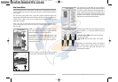
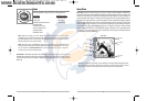
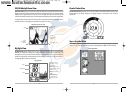
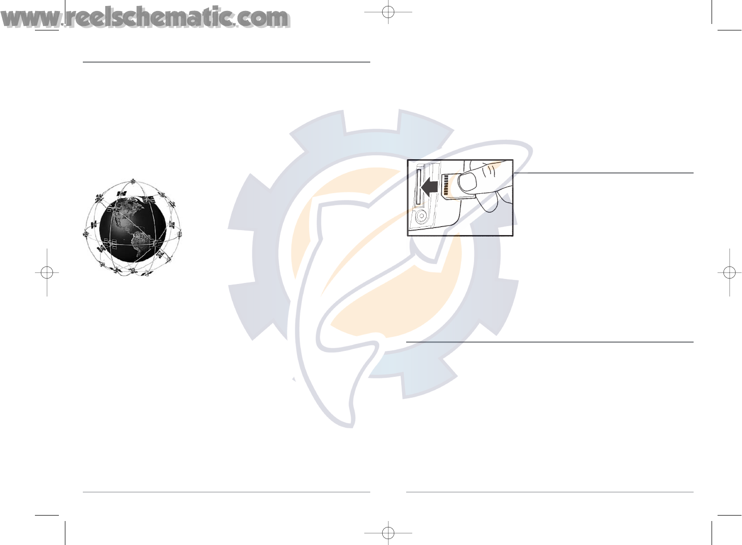
Multi-Media Card (MMC)/SD Slot
Your 700 Series™ Fishing System also has a multi-media
card (MMC)/SD slot that is used to insert optional-
purchase cards containing additional detailed maps. If
you insert an MMC/SD that contains a more detailed
chart for a particular location, your 700 Series™ Fishing
System will retrieve that chart and display it
automatically. Use the illustration to locate the position
of the MMC/SD slot cover, remove the MMC/SD slot
cover, then insert the MMC/SD into the slot. The label on
the MMC/SD should face toward the right side of the unit. Press down on the card until it
clicks into place, then replace the slot cover, making certain that the gasket is present and
positioned correctly before re-installing the cover, then replace and tighten snugly - do NOT
overtighten, as this will not improve water resistance, and may damage the cover.
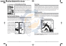
Software Updates
Use the MMC/SD slot to update the software version of your control head. To update the software
in your control head, plug in the appropriate MMC/SD card that contains a software update file;
the unit will recognize it, will tell you what software version your control
head is currently running, and will ask you if you want to update the software in the unit
to match that on the MMC/SD card. You can obtain software updates from the
www.humminbird.com website.
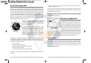
Inserting an MMC/SD
into the Card Slot
5
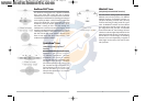
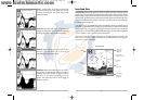
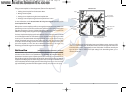
How GPS and Cartography Work
Your 700 Series™ Fishing System also supports GPS and chartplotting, and uses GPS and sonar
to determine your position, display it on a grid, and provide detailed underwater information.
The Global Positioning System (GPS) is a satellite navigation system designed and maintained
by the U.S. Department of Defense. GPS was originally intended for military use; however,
civilians may also take advantage of its highly accurate position capabilities, typically within
+/- 10 meters, depending on conditions. This means that 95% of the time, the GPS receiver
will read a location within 10 meters of your actual position. Your GPS Receiver also uses
information from WAAS (the Wide Area Augmentation System), EGNOS (the European
Geostationary Navigation Overlay Service), and MSAS (the MTSAT Satellite Augmentation
System) satellites if they are available in your area.
GPS uses a constellation of 24 satellites that continually send
radio signals to the earth. Your present position is determined
by receiving signals from up to 16 satellites and measuring the
distance from the satellites.
All satellites broadcast a uniquely coded signal once per
second at exactly the same time. The GPS receiver on your
boat receives signals from satellites that are visible to it. Based
on time differences between each received signal, the GPS
receiver determines its distance to each satellite. With
distances known, the GPS receiver mathematically
triangulates its own position. With once per second updates,
the GPS receiver then calculates its velocity and bearing.
The GPS Receiver included with your 700 Series™ Fishing System, allows you to cosmbine easy-to-
use FishingGPS™ chartplotter and navigation capabilities with advanced fishfinding. The
following GPS functionality is currently supported by the 700 Series™ Fishing System when it is
connected to the included GPS receiver:
• View current position
• View current track (breadcrumb trail)
• View precision speed and heading from your GPS receiver
• Save tracks, waypoints and routes
• Travel a route and navigate from one waypoint to the next.
Your 700 Series™ supports Navionics® Gold, HotMaps™ and HotMaps™Premium on MMC or SD
card media.
531427-1_C - 767_Man_Eng.qxd 10/25/2005 10:29 AM Page 12