


72
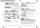
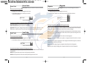
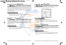
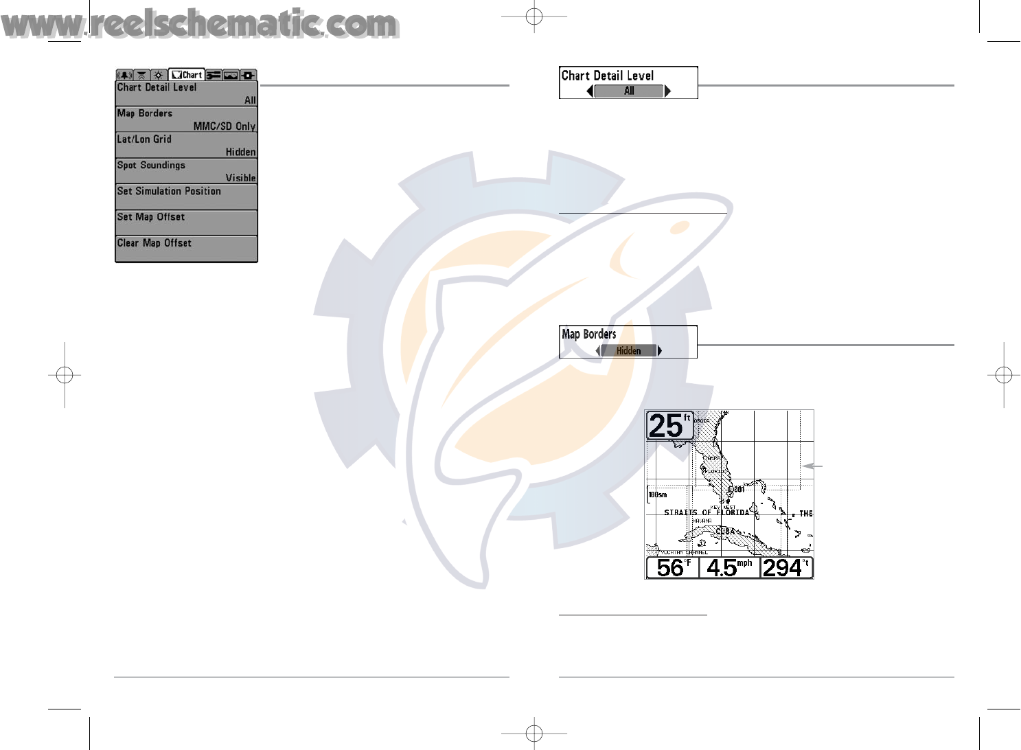
Chart Detail Level
Chart Detail Level allows you to select how much chart
detail you want displayed on the Navigation Views. Basic shows land areas, ports,
obstructions and restricted areas. Navigation shows navaids, landmarks, ferryways and
navigation routes in addition to the Basic information. Underwater shows depth contours,
fishing areas, underwater wrecks, tides and currents in addition to the Basic and Navigation
information. All shows roads, buildings, railways, and other notations in addition to the Basic,
Navigation and Underwater information.
T
o change the Chart Detail Level setting:
1. Highlight Chart Detail Level on the Chart main menu.
2. Use the LEFT or RIGHT 4-WAY Cursor Control keys to change the Chart Detail Level setting.
(Basic, Navigation, Underwater, All, Default = All)
NOTE: Some chart details are only available with optional-purchase MMC/SD cards.
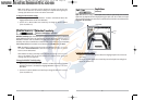
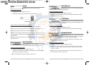
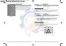
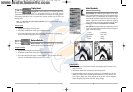
Map Borders
Map Borders allows you to display or hide map borders. A
Map Border indicates an area which contains a different map.
To change the Map Borders setting:
1. Highlight Map Borders on the Chart main menu.
2. Use the LEFT or RIGHT 4-WAY Cursor Control keys to change the Map Borders setting.
(Hidden, MMC/SD Only, All Visible, Default = Hidden)
Map Borders
Map Borders
71
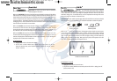
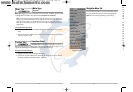
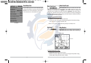
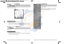
Chart Menu Tab
Press the MENU key twice to access the Main Menu System
and then press the RIGHT Cursor key to select the Chart tab.
NOTE: Menu choices will vary depending on system settings
such as whether the unit is set for Advanced User mode.
Chart Menu
531427-1_C - 767_Man_Eng.qxd 10/25/2005 10:30 AM Page 80