


49
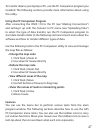
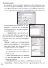
Display Icons
displayed on the map. You can select various types of locations (see
list below) to be displayed on the map by selecting the required check
boxes.
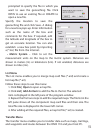
Show/Hide | My Trails
Show/Hide | Waypoints and Routes
created from waypoints on the map.
Show/Hide | SportLog
(*.spt).
Show/Hide | Geocaching
geocaching (*.geo).
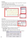
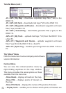
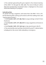
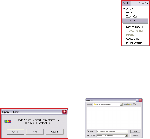
Tools Menu
The Tools menu enables you to view the map, move
across the map, search for locations, and so on.
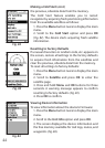
Arrow
a road or point of interest to view information about it.
Move
across the map. Press the left mouse button to drag
and move the map. The cursor turns into a closed st
when the left mouse button is pressed.
Zoom out
center. Click to zoom out and view a larger area of the map.
Zoom in
center. Click to zoom in and view more details of the map.
New Waypoint