


Northstar Explorer 657 Installation and Operation Manual22
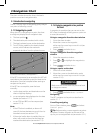
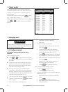
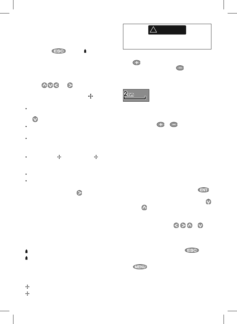
3-2-3 Chart scale
Press to zoom in and display a smaller area of
the chart in more detail. Press to zoom out
and display a bigger area in less detail.
The chart scale is displayed at the top left of the
chart:
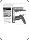
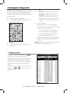
3-2-4 Chart symbols and information
The chart shows many kinds of symbols, such as
waypoints, ports, marinas, buoys and beacons. If
necessary, press or
or to choose a chart
scale where the symbol is displayed.
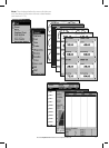
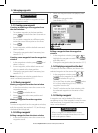
To see stored information about a symbol:
1 Either move the cursor to the symbol on the
chart and wait two seconds
or use Find to move the cursor to a symbol
for a port or service (see section 3-2-5).
2 A window appears at the bottom of the
display with some information about the
symbol.
3 To see more detail about a symbol or a list of
associated items for the symbol, press
:
i Select an item to display. If there are more
items than will fit on the display, press
or to scroll up or down.
Select a camera icon to display a photo
of the item. If the photo is too big to fit
on the display, press
, , or to
scroll the photo.
Select Tide Station to display a tide
chart for the position (see section 13).
ii Select other items or press
to
return to the chart.
To see stored information about nearby symbols
press
and select Chart info. Then
follow step 3 above.
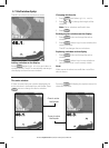
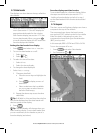
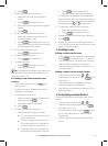
3-2-1 Chart modes
The Chart has two modes:
Center on boat mode
To switch to center on boat mode in the chart
window, press
. The boat is at the center
of the chart. As the boat moves through the
water, the chart automatically scrolls to keep the
boat in the center of the chart. The cursor (see
below) is turned off.
Cursor mode
The keys and are called cursor keys.
To switch to cursor mode in the chart window,
hold down a cursor key. The cursor
appears
and moves away from the boat:
Press the key which points in the direction
that the cursor will move, for example press
to move the cursor down.
Press midway between two of the cursor keys
to make the cursor move diagonally.
Hold a cursor key down to make the cursor
move continuously across the display.
In Cursor mode:
The distance (
DST) and bearing ( BRG) of
the cursor from the boat are displayed at the
bottom corner of the display.
The chart does not scroll as the boat moves.
If the cursor reaches the edge of the display,
the chart will scroll.
For example, hold down
to move the
cursor to the right side of the display and the
chart will scroll to the left.
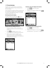
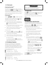
3-2-2 Latitude and longitude
Latitude and longitude can be displayed in
the data header. The display is degrees and
minutes to three decimal places, about 2 m (6
ft) resolution. Normally the position is the boat’s
position, and the latitude and longitude has a
boat symbol to show this:
36° 29.637’ N or S Latitude
175° 09.165’ E or W Longitude
If the cursor has been moved in the last ten
seconds, then the position is the cursor’s position,
and the latitude and longitude has a cursor
symbol to show this:
36° 29.841’ N or S Latitude
175° 09.012’ E or W Longitude
!
WARNING
When reading the boat position, make sure
the position is not the cursor position.