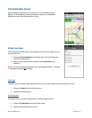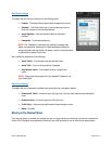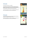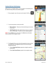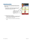
In 2D and 3D moving maps, you can zoom in or out while navigating by pinching the screen or by using the “+” and
“-“ buttons on the screen. You can also pan the map up, down, left, and right by sliding your finger along the
screen. You may see a small network activity indicator comprised of two arrows in the upper-right corner of the
display when you change map scale factor. If you pan out of the current route, the map will snap back to the current
route after 15 seconds with no tapping activity required.
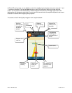
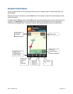
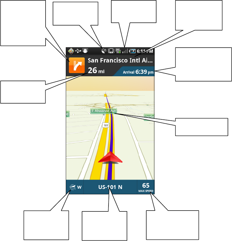
The content on the 3D Moving Map navigation view is explained below.
© 2011 TELENAV, INC. PAGE 33 OF 71
GPS
Connectivity
Next turn.
Also t
ap here
to replay the
last audio
prompt.
Name of the
street you will
turn onto
Network
Connectivity
Total distance
r
emaining and
estimated time of
arrival
Distance until
next turn
Street names
Name of the
street you
are on
Directional
heading
Max speed limit
for current road
segment


