


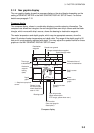
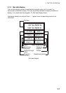
3. PLOTTER OPERATION
3-11
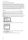
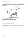
3.5.3 Navionics
charts
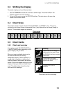
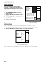
Data for aids to navigation
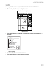
Selected Navionics charts can show buoy and lighthouse data. Simply place the cursor on
the lighthouse or buoy mark.
Lighthouse Buoy
Place the cursor on
a lighthouse or buoy mark.
Lighthouse/Buoy marks (U.S. Point layers presentation)
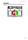
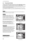
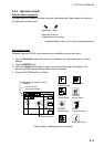
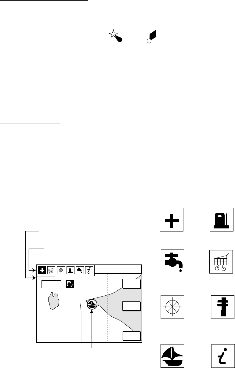
Port service icons
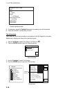
Selected Navionics GOLD charts show services available at ports, with icons.
1. Use the Trackball to place the cursor on the sailboat icon (denotes a port or harbor)
desired.
2. Push the ENTER knob.
3. Roll the Trackball horizontally to select icon desired at the top of the display. The
services available appear directly below the icon selected.
4. Press the RETURN soft key to finish.
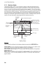
34° 22. 3456'N 359.9°M
TRIP
NU
080° 22. 3456'E
19.9 kt 99.9 nm
Emergency
medical service
Water
supply station
Customer
service station
Information center
Fueling station
Traveler's
service station
Marine
equipment service
Port
RETURN
FIRST AID
Sailboat icon (Port)
Detailed information of service
selected
List of services
at the port selected
16.0nm
GOTO
PORT
SHOW
PORT
Plotter display, showing port service display