


GPSMAP
®
4000/5000 Series Owner’s Manual 9
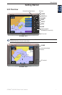
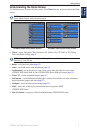
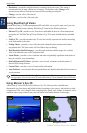
Using Charts
Using
Charts
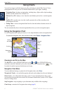
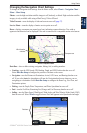
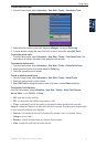
Changing the Navigation Chart Settings
To change the Navigation chart settings from the Home screen, select Charts > Navigation Chart >
Menu > Chart Setup.
Photos—sets the high-resolution satellite images to off, land only, or blend. High-resolution satellite
imagery is only available while using a BlueChart g2 Vision SD card.
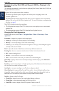
Tides/Currents
—turns the display of tides and currents on or off (page 27).
Service Points—turns the display of marine service points on or off.
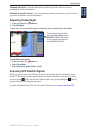
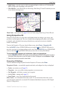
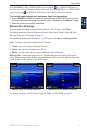
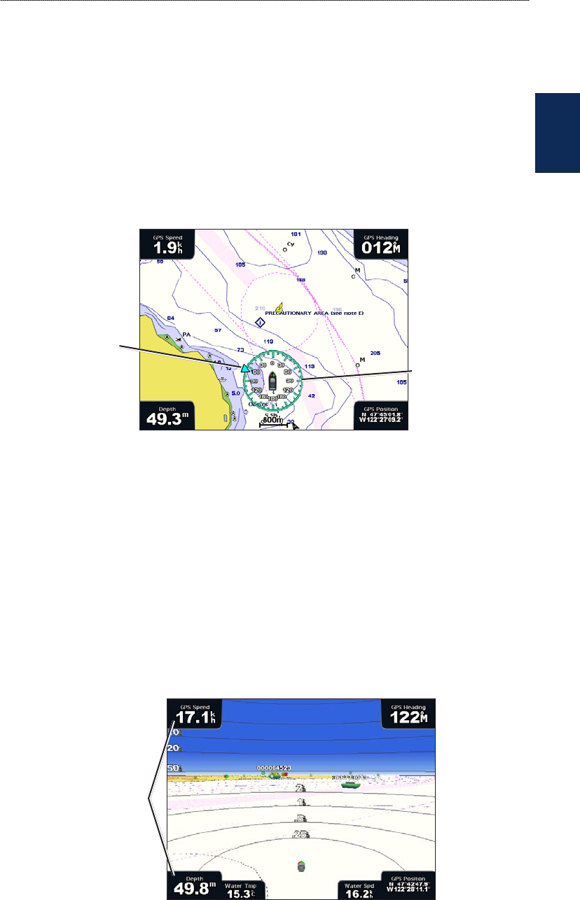
Roses—displays a compass rose around your boat, indicating compass direction. True wind or
apparent wind direction can be displayed if the unit is connected to a compatible marine wind sensor.
Compass rose
Wind direction
indicator
Wind Compass Rose
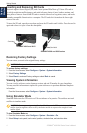
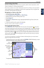
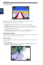
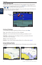
Data Bars—show or hide cruising, navigation, shing, fuel, or sailing numbers.
Cruising—turn the GPS Speed, GPS Heading, Depth, and GPS Position data bar on or off.
Select Data Bar Setup to congure the position of the data on the screen.
Navigation—turn the Distance to Destination, Arrival, Off Course, and Bearing data bar on or
off. If you select Auto, the chartplotter will turn the Navigation data bar on whenever you are
navigating to a destination. Select Data Bar Setup to congure the Route Leg, Next Turn, and
Destination options.
Fishing—turn the Depth, Water Temperature, and Water Speed data bar on or off.
Fuel—turn the Fuel Rate, Remaining Fuel, Range, and Fuel Economy data bar on or off.
Sailing—turn the Water Speed, Wind Speed, Wind Angle, and Wind Velocity Made Good (VMG)
data bar on or off. Select Wind to toggle between True and Apparent wind speed and wind angle.
Data bars
•
•
•
•
•