


12 GPSMAP
®
4000/5000 Series Owner’s Manual
Using Charts
Using
Charts
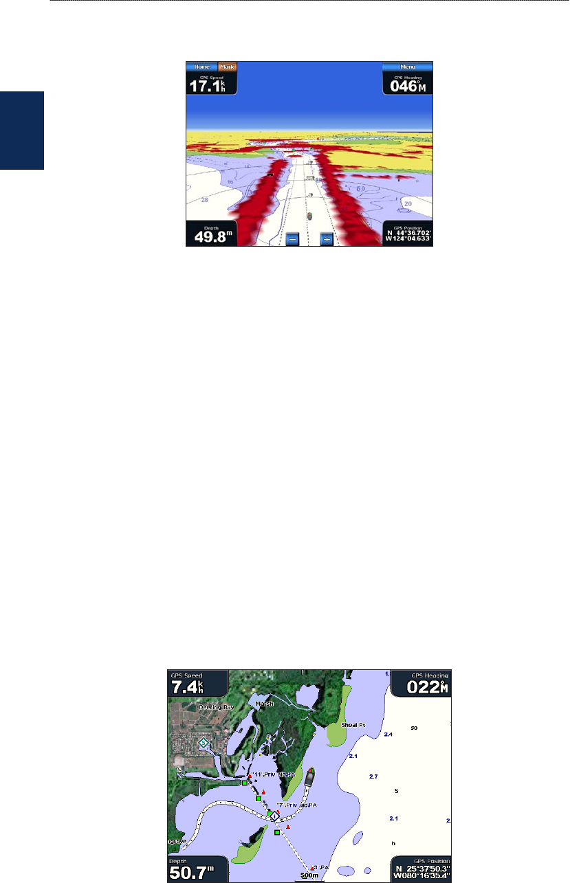
Surface Radar—display radar reections from the surface of the water when the unit is connected
to a marine radar (page 39).
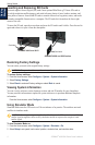
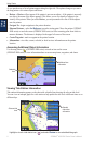
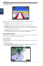
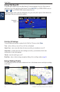
Perspective 3D With Surface Radar Information
Data Bars—show or hide cruising, navigation, shing, fuel, or sailing numbers (page 9).
Chart Appearance—customize the Perspective 3D chart.
Range Rings—toggles the range rings on or off to provide distance measurement.
Safe Depth—adjusts the safe depth for your boat. If the unit is connected to an optional sonar
module and the shallow water alarm is activated (page 56), an alarm will sound when your boat
enters water shallower than this setting.
Lane Width—adjusts the width of the course line drawn when navigating. This setting also
affects routes (Route To), but does not affect automatic guidance (Guide To).
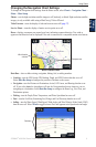
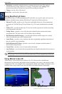
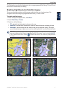
Using Radar Overlay
When you connect your chartplotter to an optional Garmin marine radar, you can use Radar Overlay
to overlay radar information on the Navigation chart (page 42).
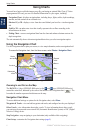
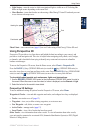
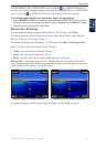
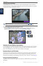
Using Tracks
A track is a recording of your path. The track currently being recorded is the active track. An active
track can be saved.
To turn the track log on:
From the Navigation or Perspective 3D chart, select Menu > Waypoints & Tracks > Tracks >
On. A trailing line on the chart indicates your track.
•
•
•