


14 GPSMAP
®
4000/5000 Series Owner’s Manual
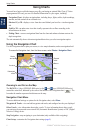
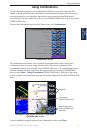
Using Charts
Using
Charts
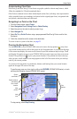
Resolution—records the track plot based on a variance from your course. This setting is
recommended for the most-efcient use of memory. The distance value (Change) is the
maximum error allowed from the true course before recording a track point.
Change—sets the value of the interval.
Track Color
—sets the color of the track plot.
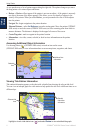
Using BlueChart g2 Vision
Optional BlueChart g2 Vision preprogrammed SD cards allow you to get the most out of your unit.
In addition to detailed marine charting, BlueChart g2 Vision has the following features:
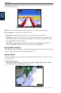
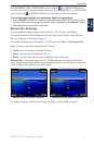
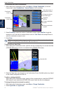
Mariner’s Eye 3D—provides a view from above and behind the boat for a three-dimensional
navigation aid. The BlueChart g2 Vision Mariner’s Eye 3D is more detailed than the preloaded
data.
Fish Eye 3D— provides an underwater 3D view that visually represents the sea oor according
to the information on the chart.
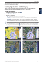
Fishing Charts—provides a view of the chart with enhanced bottom contours and without
navigational data. This chart works well for offshore deep-sea shing.
High Resolution Satellite Imagery—provides high-resolution satellite images for a realistic
view of the land and water on the Navigation chart.
Aerial Photos—provides a view of marinas and other navigationally signicant aerial photos to
help you visualize your surroundings.
Detailed Roads and POI data—provides a view of roads, restaurants, and other points of
interest (POIs) along the shore.
Current Data—provides a view of current station information.
Auto Guidance—uses the chart data and specied boat safe depth to determine the best course to
your destination.
NOTE: You cannot transfer BlueChart g2 Vision data from the SD card to your computer for backup or
viewing purposes. You can only use the SD card on BlueChart g2 Vision-compatible Garmin GPS units.
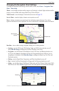
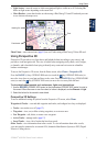
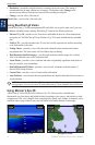
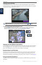
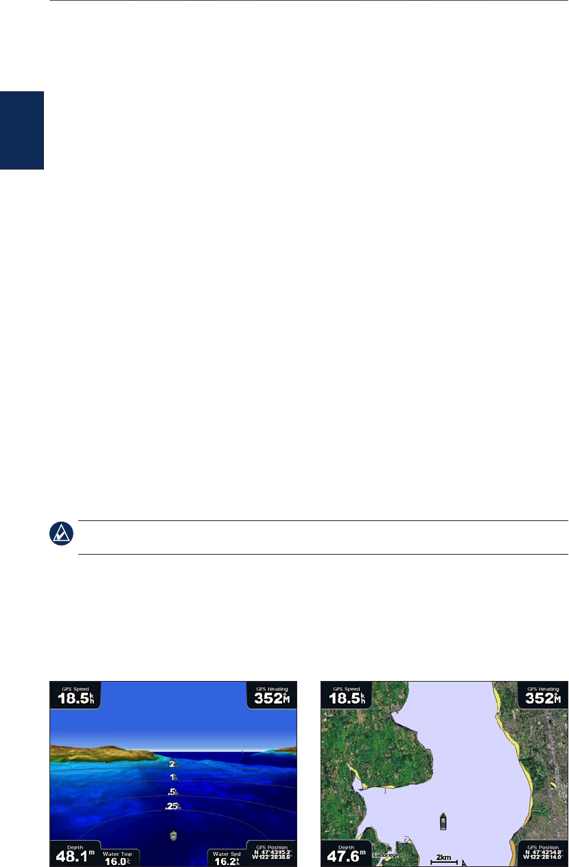
Using Mariner’s Eye 3D
A BlueChart g2 Vision SD card offers Mariner’s Eye 3D, which provides a detailed three-
dimensional view from above and behind the boat (according to your course), and provides a visual
navigation aid. This view is helpful when navigating tricky shoals, reefs, bridges, or channels, and is
benecial when trying to identify entry and exit routes in unfamiliar harbors or anchorages.
Mariner’s Eye 3D Navigation Chart
•
•
•
•
•
•
•
•
•
•