


GPSMAP
®
4000/5000 Series Owner’s Manual 7
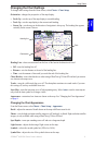
Using Charts
USinG
ChartS
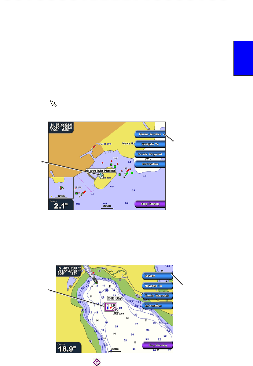
As you pan the map, a list of options appears along the right side. The options change as you move
the map pointer over various objects and charts.
Review—(Review will not appear if the pointer is not near an object—if the pointer is near only
one object, the name of the object appears.) This allows you to view details of objects in the
vicinity of the pointer. When you select Review, you are presented with a list of all the objects
near the pointer.
Navigate To—begin navigation to the pointer location.
Create Waypoint—mark a waypoint at the pointer location.
Information—view tide, current, celestial, or chart information near the pointer location.
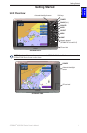
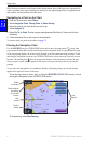
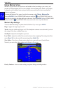
Accessing Additional Object Information
Use the map pointer ( ) (GPSMAP 4000 series) or touch an item on the screen
(GPSMAP 5000 series) to view information about on-screen map items, waypoints, and charts.
Selected
item
Additional item
information
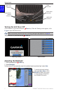
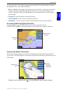
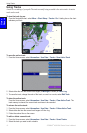
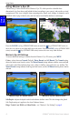
Viewing Tide-Station Information
Tide-station information appears on the chart with a detailed icon showing the relevant tide level.
You can view an in-depth graph for a tide station to help predict the tide level at different times or on
different days.
Relevant tide
level
Detailed
tide station
information
Highlight or touch a tide-station icon ( ), and select Review to view a detailed tide graph.
•
•
•
•