


19
English
NAVIONICS ELECTRONIC CHARTS
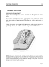
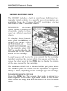
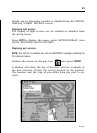
The GEONAV includes a built-in world map. Additional car-
tography details relative to a specific area of navigation are
available from the CompactFlash™ cartridges storing
NAVIONICS Gold™ electronic charts.
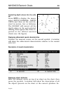
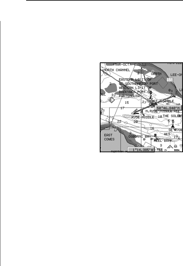
NAVIONICS electronic
charts contain a detailed set
of symbols, similar to those
used on official nautical
charts.
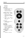
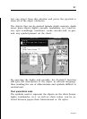
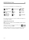
To display chart bound-
aries, press the GOTO key to
display the menu, select
SETUP/DISPLAY, then
CHART BOUNDARIES and,
by the joystick, select ON/
OFF to enable/disable the
boundaries of the charts
stored in the cartridge.
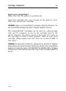
A small square will locate the area covered by the cartridge
installed; position the cursor within the square and then de-
crease the chart scale by the ZOOM+ key to display the details
of the area covered by the cartridge.
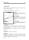
The maximum detail level is obtained within port plans where
the smallest point on screen can be equivalent to approxi-
mately 1 meter, depending on the cartridge type and coverage.
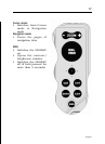
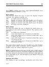
Increasing/decreasing the chart scale
Press the -ZOOM+ key. The current chart scale is shown by a
small segment in the lower right-hand corner of the screen.
Chart scales can range from 512 NM down to 40 ft in Overzoom
mode.
NAVIONICS Electronic Charts