


39
English
QUICK TOUR
We recommend that you use the GEONAV intuitively, since
no damage will be caused by pressing an incorrect button.
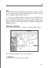
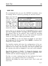
Make sure that the
GPS receiver is con-
nected, insert a
Compact Flash™
cartridge and press
the PWR key. At
start-up, the last
chart used will be
loaded by default.
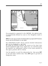
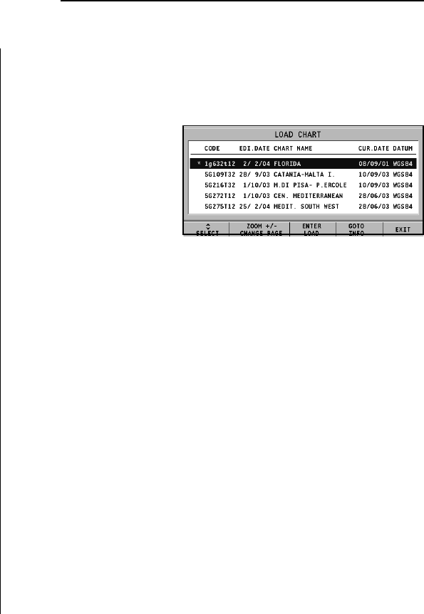
If the chart is not found, the list of NAVIONICS charts stored
into the Compact Flash™ cartridge will be displayed. Select
the desired chart by the joystick, then confirm by pressing
ENTER. A message will warn the user that electronic nautical
charts do not replace official government charts.
Press the PWR key to turn the display backlight on and adjust
the brightness by the joystick; press ENTER to continue (en-
abling the Geonav mode).
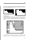
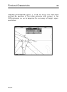
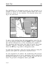
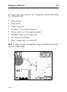
The Satellite window will show the configuration of the sat-
ellites in use. As soon as the GPS receiver has obtained a
valid fix (it can take a few minutes), the boat’s position and
the relevant area will be displayed at the best scale available.
The default language is English. To change the language, press
GOTO to display the menu, then select SETUP/GENERAL, LAN-
GUAGE and the desired language by the joystick.
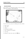
The line, or vector, starting from the boat indicates the boat’s
direction, to be ignored if the boat is stationary.
Windows will display the boat’s speed, route, chart scale and
local time.
Quick Tour