


6. MAP SETTINGS, 2D PERSPECTIVE/3D DISPLAYS AND SATELLITE OVERLAY
6-6
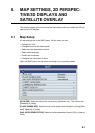
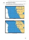
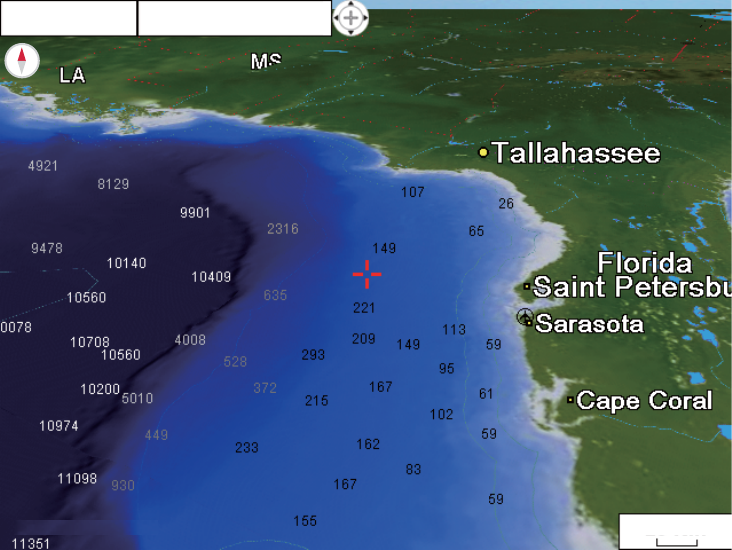
6.3 3D Display
6.3.1 3D display description
The 3D display has native 3D chart design that allows full time 3D presentation. This
true 3D environment gives you all of the information you require with no restrictions on
the information you can see. You can plan your routes, enter points, etc. like on the
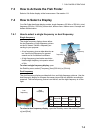
2D chart. To show the 3D display, select [2D/3D Mode] and [3D] from the RotoKey
menu. The 3D icon, whose appearance changes according to display adjustment
state, appears to the right of the orientation mode box.
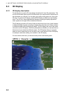
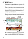
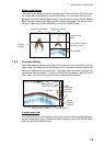
The 3D display provides a 3D view of land and sea around your boat. Land is shown
in different shades of green according to height above the sea level. Water is shown
in different shades of blue according to depth. The 3D display has most of the same
information as the 2D display. With both presentations available you can see the con-
ditions around your boat from different angles. The 3D display helps you navigate
when you are in waters that you do not know. Also, most functions of the 2D display,
for example, destination setting, are available in the 3D display.
For best results make sure you have accurate position and heading data.
GPS 3D
20 NM
Course Up