


2. RADAR, CHART RADAR OPERATION
2-4
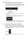
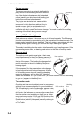
Course-up mode
The course-up mode is an azimuth stabilized dis-
play in which a line connecting the center with the
top of the display indicates own ship's intended
course (namely, own ship's previous heading just
before this mode has been selected).
Target pips are painted at their measured dis-
tances and in their directions relative to the in-
tended course, which is maintained at the 0-
degree position. The heading line moves in ac-
cordance with ship's yawing and course change. This mode is useful for avoiding
smearing of the picture during course change.
Head-up TB (True Bearing) mode
Radar echoes are shown in the same way as in the head-up mode. The difference
from the normal head-up presentation lies in the orientation of the bearing scale. The
bearing scale is heading sensor stabilized. That is, it rotates in accordance with the
heading sensor signal, enabling you to know own ship's heading at a glance.
This mode is available when the radar is interfaced with a gyro heading sensor. If the
gyro heading sensor fails, the bearing scale returns to the state of head-up mode.
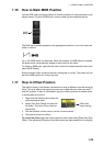
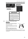
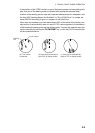
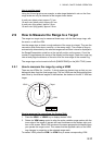
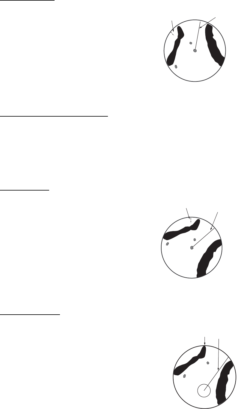
North-up mode
The north-up mode paints target pips at their mea-
sured distances and in their true (heading sensor) di-
rections from own ship, north bearing maintained at
the top of the screen. The heading line changes its di-
rection according to the ship's heading. Requires
heading signal.
If the compass fails, the presentation mode changes
to head-up and the north marker disappears. A failure
of the heading sensor input will cause the heading
readout to disappear, and the Alert 450 "Heading
Sensor Not Available" or "Gyro COM1 Error" (a number between 250-259 according
to gyro no.) appears in the [Alert] box.
True motion mode
Own ship and other moving objects move in accordance
with their true courses and speed. In ground stabilized
TM, all fixed targets, such as landmasses, appear as sta-
tionary echoes. In the sea stabilized TM without set and
drift inputs, the landmass can move on the screen. Note
that true motion is not available on the 96 nm or higher
range scale range scale. If COG and SOG (both over the
ground) are not available on the TM mode, enter the set
(tide direction) and drift (tide speed) manually referring to
a Tide Table.
North marker
Heading
line
North marker
Heading
line
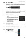
North marker
Heading
line