


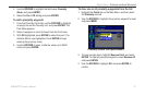
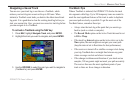
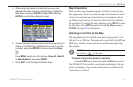
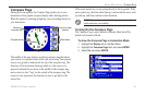
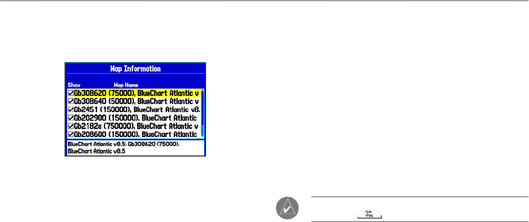
5. When using map loaded to a data card, you can view
detailed information about an individual map, highlight the
Map Name, and press ENTER. Highlight OK, and press
ENTER to exit the Map Information page.
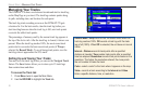
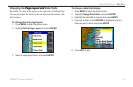
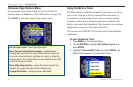
6. To select/deselect individual maps (data card maps only) for
display on the Map Page, highlight the box next to the map
you want, and press ENTER to check/uncheck the Show
box.
OR
Press MENU, select one of the options (Show All, Hide All,
or Show Defaults), and press ENTER.
7. Press QUIT to exit the Map Information Page.
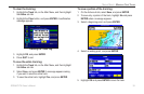
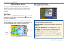
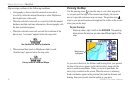
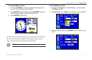
Map Orientation
There are three map orientation options: North Up orients the map
like a paper map. Track Up orients the map in the direction of travel.
Course Up orients the map so the direction of navigation is always
up. When using Track Up or Course Up, the North arrow indicates
the orientation. To change the map orientation, press MENU to open
the Map Page. Press MENU again. Select Set Up Map and press
ENTER. See page 43 for information.
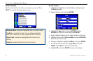
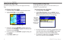
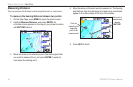
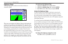
Zooming In and Out of the Map
The map display has 28 available zoom scales ranging from 5 m to
800 nm (5 m to 1200 km). The map scale is controlled by the IN and
OUT keys, with the current scale shown at the bottom right of the
data window.
NOTE: The scale value represents the distance from one end of
the scale bar ( ) to the other.
To select a map scale (zoom in and out):
Press the OUT key to zoom out; press the IN key to zoom in.
The GPSMAP 278 has a built-in worldwide land database. The unit
shows cartography as long as chart information is available for the
zoom scale you selected.
GPSMAP 278 Owner’s Manual 45
MArIne Mode PAges > MAP PAge