


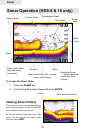
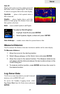

35
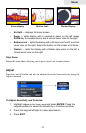
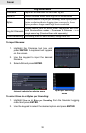
Sonar
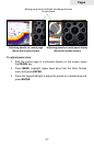
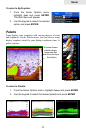
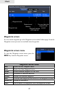
Fish ID
Displays sh echoes as sh symbols instead of
sh arches with or without depth. This makes
it easier to recognize sh on the sonar display.
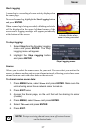
Symbols — places a sh symbol where a
sh is detected.
Depths — places depths above each sh
detected; helps gauge the distance from each
sh symbol to the boat.
Both — turns on both Symbols and Depths.
To select a Fish ID option:
1. Highlight Fish ID and press ENTER.
2. Select Symbols, Depths or Both and press ENTER.
Fish ID Beeps — sounds a tone when the system detects a sh.
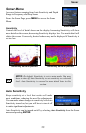
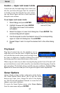
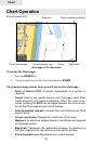
Measure Distance
Used to measure the distance from one location to another on the sonar display.
To Measure distance:
1. Move the cursor to the starting location.
2. Select Measure distance on the Sonar menu and press ENTER.
3. Move the cursor to the second location. The Measure distance line
will appear with the distance between the two locations shown in the
cursor dialog box.
4. To measure another position, press ENTER and move the cursor to
the desired location.
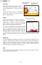
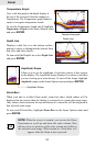
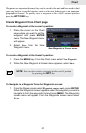
Log Sonar Data
Used to save sonar chart data to your unit’s internal
memory or to an MMC/SD card.
To access the Sounder Logging menu, select
Log Sonar Data from the Sonar menu and press
ENTER.
Fish Symbols and Depths